SECO Tracking and Preparing for Hurricane Irma
SECO Energy is tracking Hurricane Irma and continues to prepare for a track that will affect its service territory.
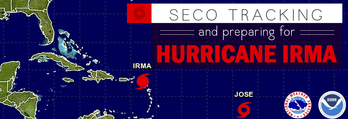
Currently, Hurricane Irma is a Category 5 storm with wind speeds over 180 miles per hour. The storm is located five miles north of Barbuda, and is moving west-northwestward at 15 miles per hour. Forecasters predict that Hurricane Irma will continue on this current path until at least Friday night, passing between Cuba and the southern Bahamas.
The National Hurricane Center (NHC) is predicting Hurricane Irma will make landfall in Dade County. The major models predicting Irma’s path shifted a bit easterly overnight, and predictions will continue to fluctuate over the next couple of days.
SECO’s service area will likely experience heavy winds, torrential rains and the possibility of tornadoes spawned by Hurricane Irma. Members should be prepared for the possibility of lengthy power outages.
SECO’s employees are Storm Ready and waiting to respond if outages occur. SECO is prepared for inclement weather and reminds members that it is best to be informed and prepared. All SECO members should continue to seek out supplies for their emergency kits, and be ready to wait out the storm.
If you have a portable or backup generator, now is the time to test that it is running properly and you have an adequate supply of fuel on hand. Members can visit SECO’s website for storm preparation tips and view an emergency checklist. For members with smartphones or tablets, bookmark SECO’s Storm Center for easy outage reporting and updates.
As a not-for-profit electric cooperative, SECO is dedicated to being our members’ first source for accurate storm information. “Like” SECO’s Facebook page and “follow” the company on Twitter to stay updated about storms affecting our area.