StormCenter logo

Archive

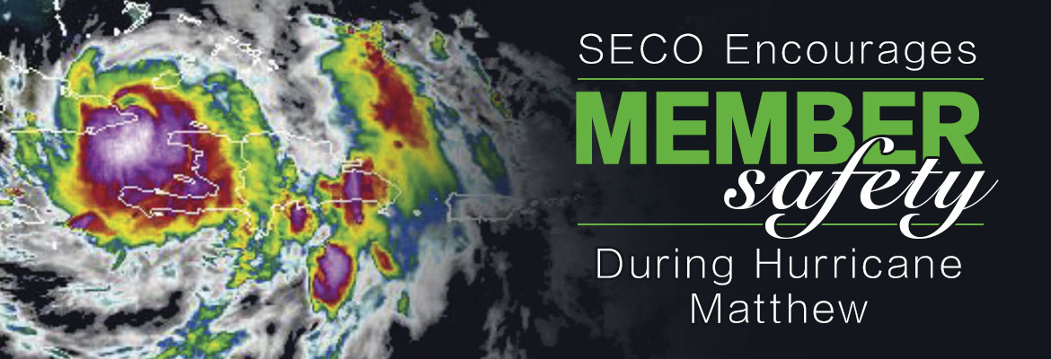
Spaghetti Model Mayhem as Hurricane Matthew Approaches Florida

The spaghetti models for the latest Hurricane Matthew forecast are all over the place, but one thing is clear: It’s coming to Florida, and SECO Energy members will feel effects of the storm on Thursday and Friday.


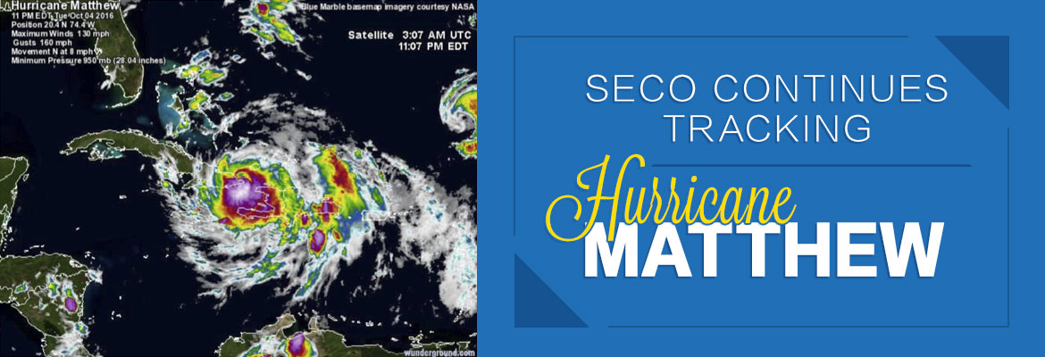
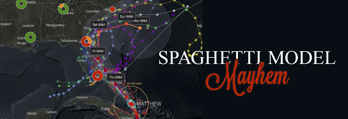
Per the National Hurricane Center’s 5 pm forecast, Hurricane Matthew is moving northwest at 12 mph. On this track, Matthew will move across the Bahamas tonight and tomorrow, and is expected to be near Florida’s east coast tomorrow night. Strengthening is forecasted during the next couple of days, and Matthew is expected to remain at a Category 3 or stronger while it moves through the Bahamas and approaches Florida.


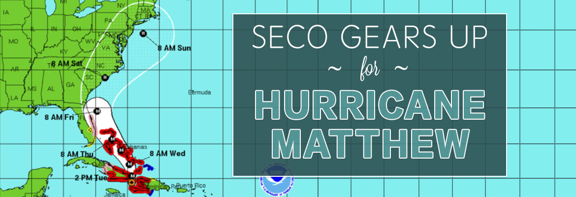
The forecasted path of Matthew is a parallel track on Florida’s east coast – but models are mixed now in reference to how close the eye will come to Florida’s shores and where it will head after it passes the northern part of the state. What is certain is Central Florida residents east of I-75 will likely experience rain bands and strong tropical-storm-force wind gusts with damage potential. This means power outages – some perhaps long in duration.


SECO encourages its members to report outages using their smartphones or tablets through our online Storm Center application at SECOEnergy.com. It’s easy to report simply by using the last name on the account and the house number. Members can contact SECO via Facebook and Twitter, as details about outages are always posted to these platforms.


For those less tech savvy, members can always call and talk to a member service rep (or use the prompts to report the outage by phone at (800) 732 6141. SECO’s System Operations Center is manned 24/7, and our call centers are also manned 24/7 when severe weather comes through – as will be the case as Hurricane Matthew approaches. Downed power lines can be reported by phone too – but a member who suspects immediate danger should call 911.


SECO is Storm Ready with a comprehensive emergency response plan that determines the system’s restoration priority of each affected feeder. Essential services such as shelters, hospitals, schools and government agencies are the highest priority. Next, line personnel make repairs that will restore power to large groups of members and then repairs begin on individual electric services in less populated areas. SECO has called for additional line crews and tree trimming contractors to respond quickly to outages caused by Hurricane Matthew.


SECO Encourages Member Safety During Hurricane Matthew


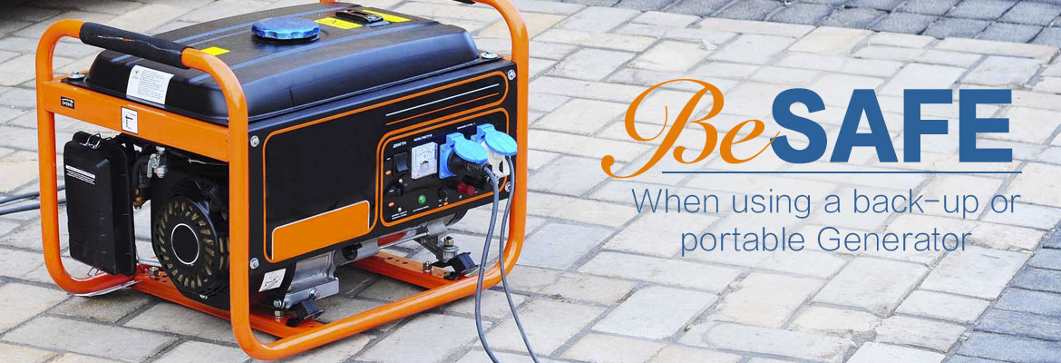
For members who need continuous power for medical devices, please know that Hurricane Matthew may be the cause of prolonged outages during and after the storm hits. If you are a SECO member who requires uninterrupted service and you do not have a back-up source of power to operate a medically necessary device, now is the time to act as SECO cannot guarantee continuous service during a severe storm event. Shelters are opening in the SECO area Thursday. Contact the emergency operations center (EOC) in the county where you live and inquire about available shelters in your area. Below is the contact information for the EOCs by county:


As a not-for-profit electric cooperative, SECO is dedicated to being members’ first source for accurate storm information. Learn more at SECOEnergy.com.

Generator Power Safety and Medical Devices

As a not-for-profit electric cooperative, SECO Energy is dedicated to being its members’ first source for electric safety communication and resources during major weather events such as Hurricane Matthew.


Members who use generators during service interruptions should only use with safety in mind.  Generators should never be used in an enclosed space – generator engines emit carbon monoxide (CO). If CO is inhaled, it can be fatal to humans and pets, as it is a colorless, odorless, invisible killer.  Do not attempt to use a generator when it is wet, as this poses a risk for electrocution and death.  Always read and follow the manufacturer’s safety instructions contained in the generator operations manual.


SECO Encourages Member Safety During Hurricane Matthew


For members who may need continuous power to run life-saving machines, please be aware that Hurricane Matthew may be the cause of prolonged outages during and after the storm hits. If you are a SECO member who requires uninterrupted service and you do not have a back-up source of power to operate a medically necessary device, now is the time to act as SECO cannot guarantee continuous service during a severe storm event. Contact the emergency operations center (EOC) in the county where you live and inquire about available shelters in your area. Below is the contact information for the EOCs by county:


SECO reminds members to never touch downed power lines.  Even if a line is down, it could still be live and lead to electrocution and death.  Do not allow children to play near downed lines or trees downed during storms.  Please report any service interruptions or downed power lines through SECO’s Storm Center or call 800-732-6141.


SECO Encourages Member Safety During Hurricane Matthew


“Like” SECO’s Facebook page and “follow” the company on Twitter to stay updated about storms affecting the area.

SECO Continues Tracking Hurricane Matthew

SECO Energy continues to monitor and track Hurricane Matthew and its path to Florida. SECO is urging members to gather emergency supplies and be ready for service interruptions while the hurricane is passing through Florida and for a period of time thereafter.


As of Wednesday morning, Hurricane Matthew was downgraded to a Category 3 hurricane with sustained winds up to 125 mph. The storm is currently located about 35 miles north-northwest of the eastern tip of Cuba and is moving north at 8 mph. The storm is still predicted to turn northwest Wednesday night and is expected to remain a major hurricane as it moves over the Bahamas Wednesday and Thursday. By Thursday evening, Matthew will be near Florida’s east coast – with the center located 25 to 30 miles off the coast. The state will feel its effects through Friday night.


The forecast for Florida includes rain bands and strong, potentially damaging wind gusts – especially within rain bands and thunderstorms. Members in SECO’s service area can expect heavy rain, gusty winds that may strengthen to tropical-storm-force.


SECO asks members to keep a close watch on the hurricane’s impact on the area and be prepared for the possibility of prolonged service interruptions. Members should check emergency supplies, fill vehicles with gas, stock up on non-perishables and check property for objects that could cause damage during high winds.


Make sure cell phones and tablets are fully charged – include extra chargers in your emergency supplies. Bookmark SECO’s Storm Center on your smartphone or tablet. It’s simple to report an outage using the account last name and house number.


As a not-for-profit electric cooperative, SECO is dedicated to being our members’ first source for accurate storm information. “Like” SECO’s Facebook page and “follow” the company on Twitter to stay updated about storms affecting our area.

SECO Gears up for Hurricane Matthew

SECO Energy is geared up for Hurricane Matthew – a Category 4 Hurricane – and its possible impact on the area and its members. SECO continues to monitor and track the storm as it passes over Jamaica and Cuba on its way to Florida’s east coast waters.


As of Tuesday afternoon per the NHC forecast, Hurricane Matthew is moving toward the north at 10 mph. On this track, the eye will move over eastern Cuba later this afternoon. A turn toward the north-northwest is expected by Wednesday, followed by a northwest turn Wednesday night. Maximum sustained winds remain near 145 mph with higher gusts. Matthew is expected to remain a powerful hurricane through at least Wednesday night.


Locally in Central Florida, expect heavy, continuous rains and gusty winds beginning as early as Wednesday afternoon. Conditions are meant to deteriorate on Thursday with the strongest storms forming between 2 am on Friday and continuing through about 7 pm Friday.


SECO is Storm Ready with a comprehensive emergency response plan that determines the system’s restoration priority of each affected feeder. Essential services such as shelters, hospitals, schools and government agencies are the highest priority. Next, line personnel make repairs that will restore power to large groups of members and then repairs begin on individual electric services in less populated areas. SECO has called for additional line crews and tree trimming contractors to respond quickly to outages caused by Hurricane Matthew.


SECO is urging members to be prepared for outages that may occur. Members may experience extended outages if tropical-storm-force winds linger in the area. It’s important to understand that line and tree crews cannot perform electric line work and bucket truck maneuvers during sustained winds of over 35 mph.


If you rely on a generator during storm season, remember to read and follow all manufacturer’s safety warnings. Visit the Generator Safety section of our website to learn more about being safe when using a generator.


Ensure your smartphone or tablet is fully charged and bookmark SECO’s Storm Center to report outages online. It’s simple to report an outage using the account last name and house number.


As a not-for-profit electric cooperative, SECO is dedicated to being our members’ first source for accurate storm information. “Like” SECO’s Facebook page and “follow” the company on Twitter to stay updated about storms affecting SECO’s area.