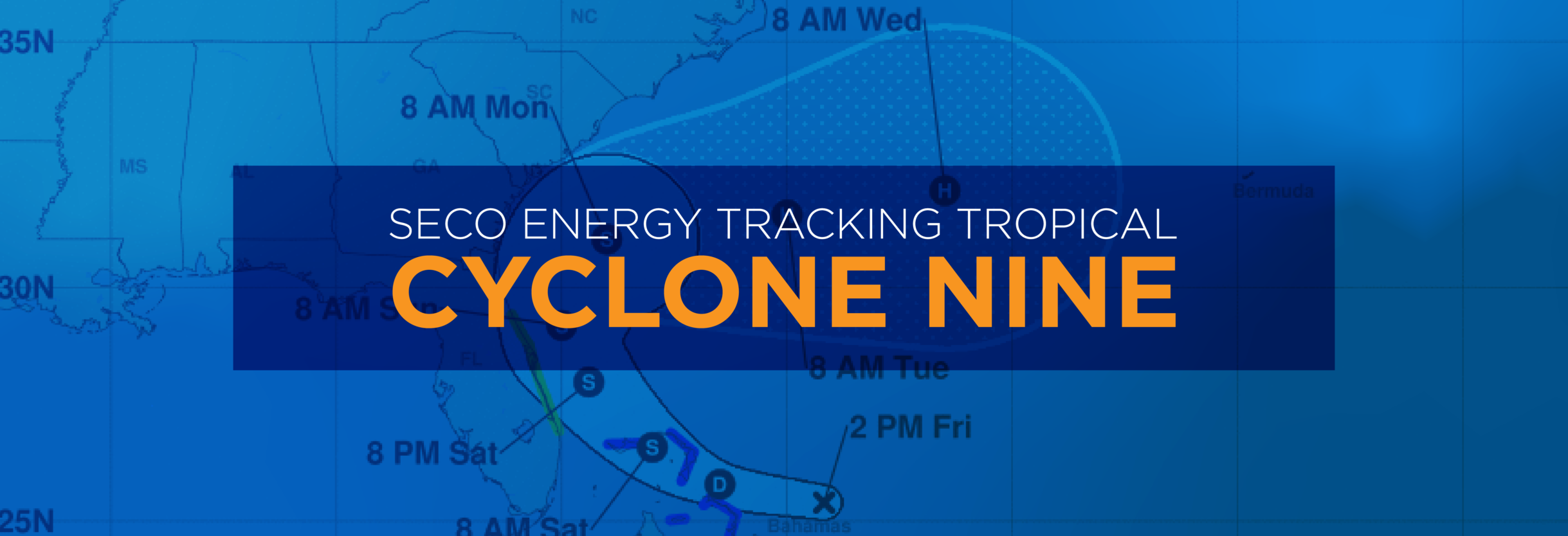
SECO Energy Tracking Tropical Cyclone Nine
SECO Energy is closely watching the track of Tropical Cyclone Nine that is expected to increase in speed and become Tropical Storm Humberto within the next 24 hours. Tropical Cyclone Nine appears to be on a similar path as Hurricane Dorian that passed Florida earlier this month, but this current tropical system is much weaker.
According to the National Hurricane Center (NHC), Tropical Cyclone Nine is located over the central Bahamas with maximum sustained winds of 25 mph. The current track continues to move further east of Florida posing less of a threat to SECO’s service area. SECO Energy members on the east side of I-75 may experience gusty winds around 35 mph on Saturday and Sunday with passing showers.
SECO Energy Vice President of Operations John LeSalva stated, “Currently, Tropical Cycle Nine is not expected to be a major weather threat for SECO Energy members. We will continue to monitor the cyclone’s track as it moves closer to Florida, but for now it appears that it will remain offshore and bring only rain and winds.”
September is the peak of Atlantic hurricane season and SECO Energy has created a new Hurricane Handbook to help members prepare before, during and after storms. Our Hurricane Handbook is available online at SECOEnergy.com.
StormCenter is SECO Energy’s outage and communications platform for members to report outages, check the status of an existing outage and enroll in outage communications and alerts via email, text, voice or all three. Visit StormCenter today and bookmark on your smartphone or tablet to report outages quickly and easily.
Stay up to date on weather affecting SECO Energy’s service area, the latest news releases and cooperative updates by “liking” SECO’s Facebook page and “follow” @SECOEnergy on Twitter.