SECO News, November 2016
Duncan’s Digest
Most people would equate a company giving money back to their consumers with flying pigs. However, SECO Energy is different. As a not-for-profit electric cooperative owned by our members, pigs really do fly this time of year – putting money back in your pocket with another record Capital Credit retirement.
Here’s how it works: Your membership in SECO Energy builds ownership through your energy purchases. That ownership is defined through the annual process of allocating each member’s share of the co-op’s operating margins from the prior year. The annual amounts for each member who purchased electric service from SECO Energy during that year are referred to as Capital Credit allocations.
Capital Credits are the accumulation of all prior year’s revenue after the co-op’s operating costs and expenses have been paid. These credits are allocated on a pro-rata basis to each SECO Energy member’s account as “Capital Credits” and represent a portion of the member’s patronage with the cooperative in the prior fiscal year.

During its September meeting, SECO’s Board of Trustees approved letting the proverbial pig fly with a record $5.1 million to be returned (retired) to members. Since SECO Energy’s inception, the co-op has retired more than $52.4 million to current and former members. This Capital Credits return is made possible by the sound financial stewardship of SECO’s Board, leadership team and employees. In a positive way, we really do reap what we “sow” – no pun intended.
Each current member receiving a Capital Credits retirement this year will see the amount on the November bill listed as a line item labeled Capital Credits. Visit our Capital Credits page if you have questions about Capital Credits.
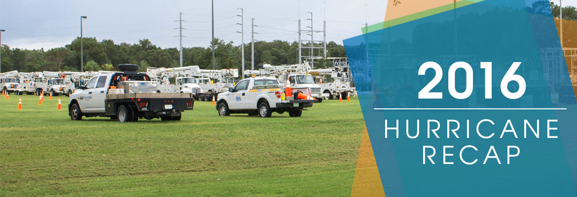
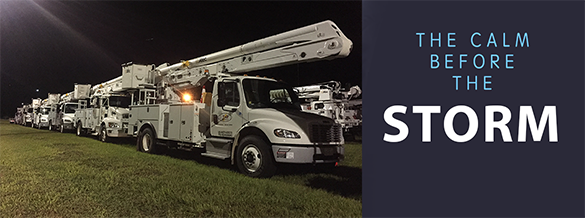
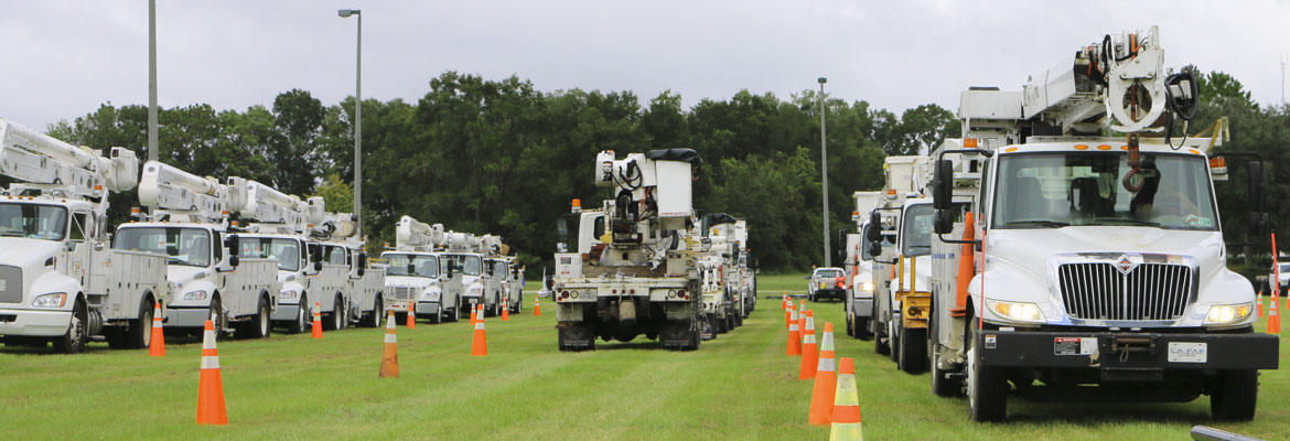
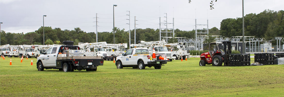
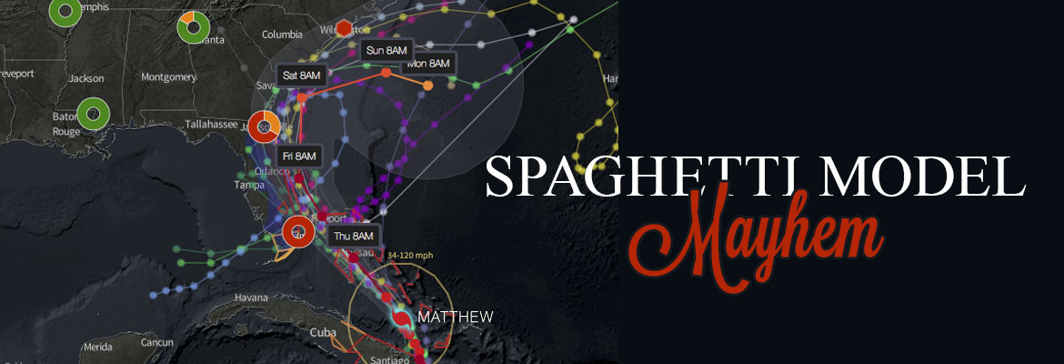
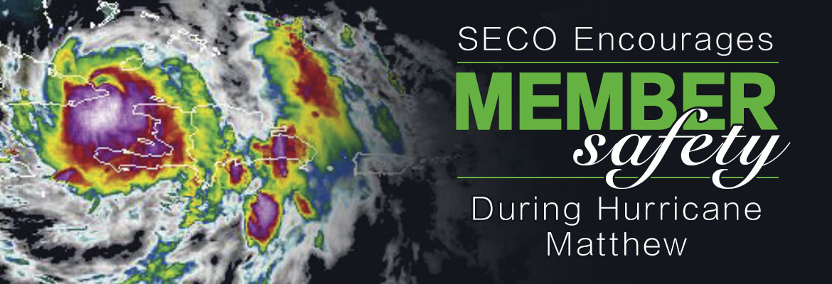
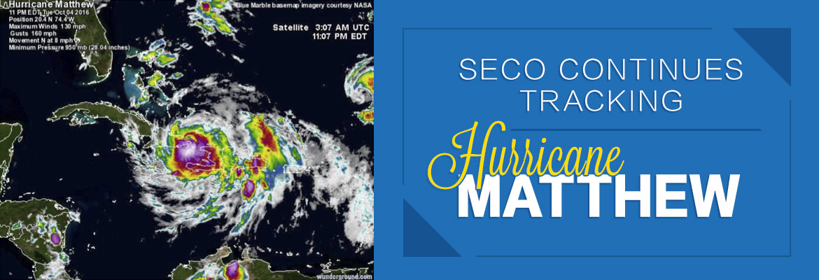
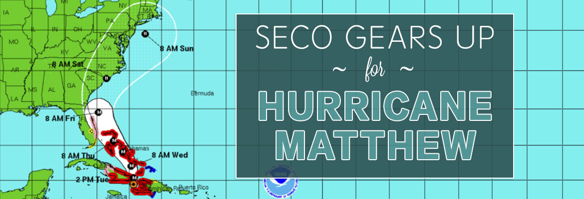
2016 Hurricane Recap
Tropical Storm Colin made landfall in the late night hours on Monday, June 6. Colin is the first named storm to make landfall in Florida since Andrea in 2013. While Colin moved across the state, parts of SECO’s service area experienced tropical-storm-force winds and extended periods of heavy rainfall. Colin caused only a small number of outages in SECO’s area. Crews worked quickly and safely to restore these outages within hours.
Hurricane Hermine made landfall as a Category 1 hurricane in the Big Bend area on Friday, September 2. Hermine brought buckets of rain and high winds to the area, causing approximately 14,000 total service interruptions. Along with the hurricane, tornadoes touched down in Sumter County. Members in Marion, Levy and Citrus counties were hardest hit by Hurricane Hermine. The SECO team did a stellar job in quickly restoring power by midnight that Friday.
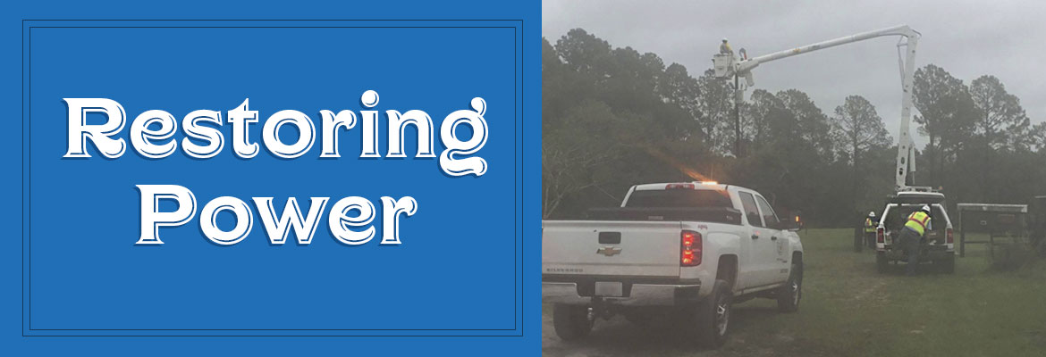
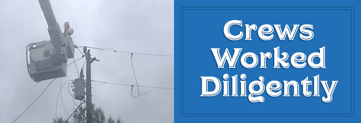
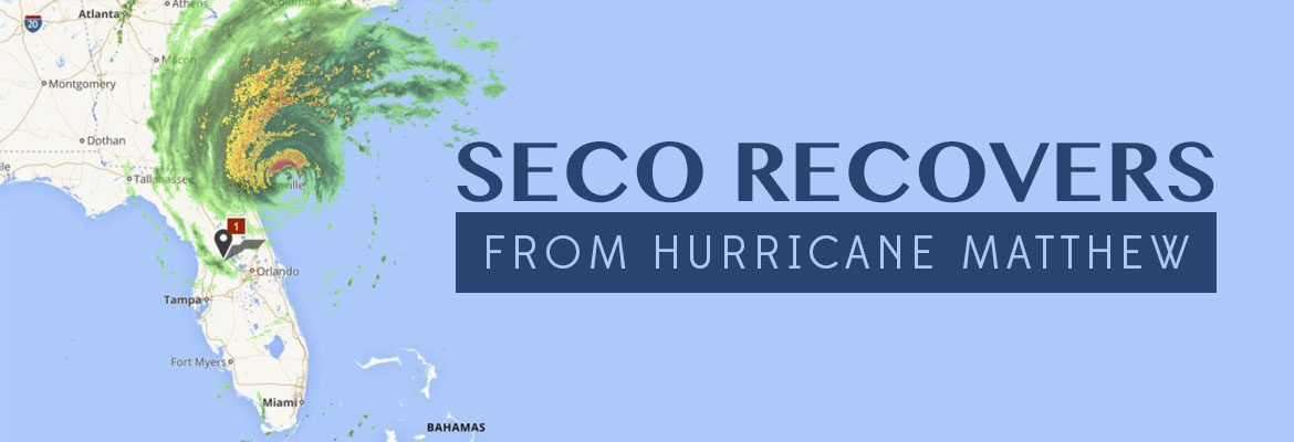
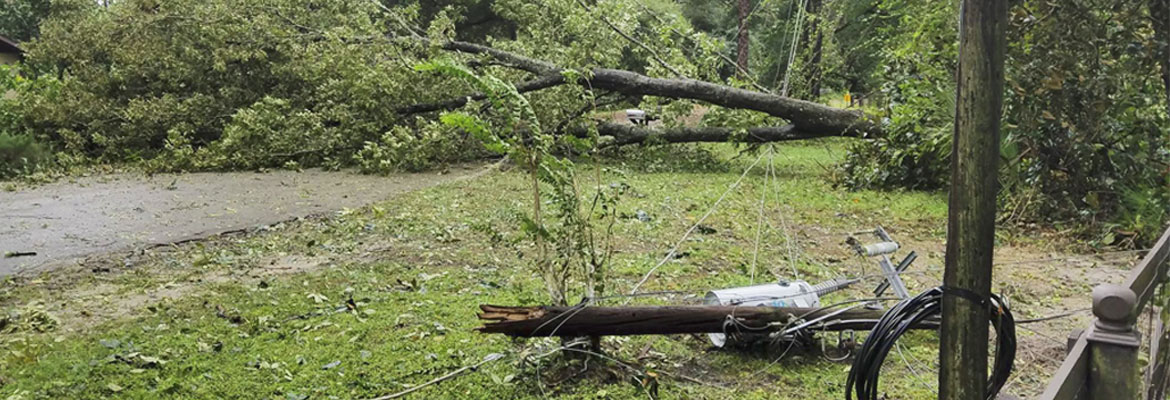
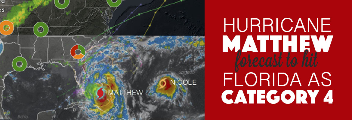
Hurricane Matthew became an extremely powerful Category 3 hurricane that hugged Florida’s east coast as it traveled north Thursday, October 6. Though Matthew didn’t make landfall in Florida, the storm brought rain and very strong winds to SECO’s service area. The hurricane accounted for approximately 28,000 outages for SECO members. The area hardest hit was east Lake County, which suffered extensive damage. Broken trees, damaged utility poles, flooding and roadway debris were challenges for SECO crews and contractors. By early Saturday afternoon, all SECO members’ power was restored.
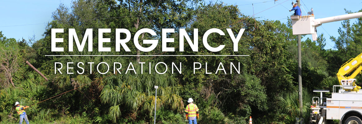
SECO was Storm Ready and once again proved the team is the best-of-the-best. SECO enacted its emergency restoration plan and manned Customer Service and System Operations Centers round-the-clock until all restoration was complete. Members reported service interruptions online or called and spoke to a representative 24/7. Thousands of members reached out via Facebook and Twitter to ask questions about restoration and report unsafe conditions. Members on social media offered thanks, compliments, praise, prayers and well-wishes for the entire SECO team and the contractors working to restore power.
Thank you, SECO Energy members, for your patience and understanding, as well as your kind words, prayers and compliments – they are truly appreciated. Words cannot begin to express our gratitude.
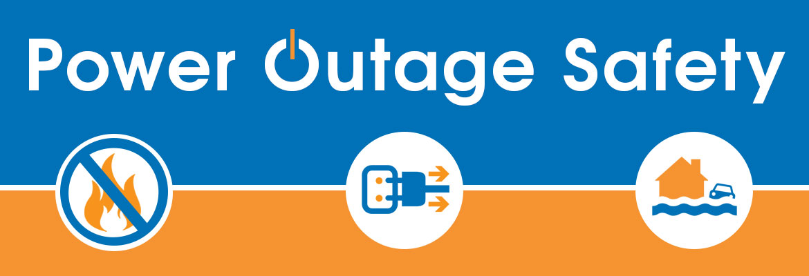
Power Outage Safety
If a power outage occurs, contact SECO Energy right away. Don’t assume that someone else has already reported it, and don’t worry that we’re too busy. Every call and online outage report helps pinpoint the location and extent of an outage. Be sure to let us know if you see downed power lines or any damaged utility equipment. If there’s an immediate danger, call 911.
Don’t Use Candles
Avoid using candles during power out-ages – the risk of fire is too great. Use battery-powered lights, like a flashlight or LED lantern, for emergency lighting.
Protect Your Appliances
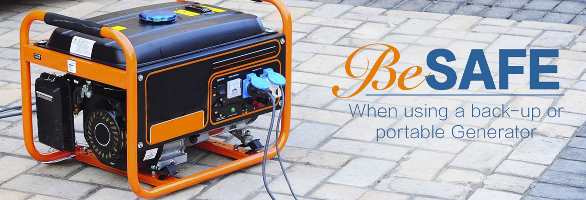
When a storm involves high winds or lightning, turn off and unplug as many appliances as possible (including your HVAC during a summer storm). This will prevent damage from a power surge when service is restored. After the storm has passed, flip the breakers back on, plug in and turn them on one at a time. Consider enrolling in our Surge Protection program.
Flood Dangers
If flooding occurs or is predicted in your area – do not use any electrical devices. Turn off the main circuit breaker or remove the primary fuse cartridge – but only if you can reach it without touching water.
To report outages quickly and easily online, bookmark Storm Center on your smartphone or tablet or call the outage hotline at (800) 732-6141.
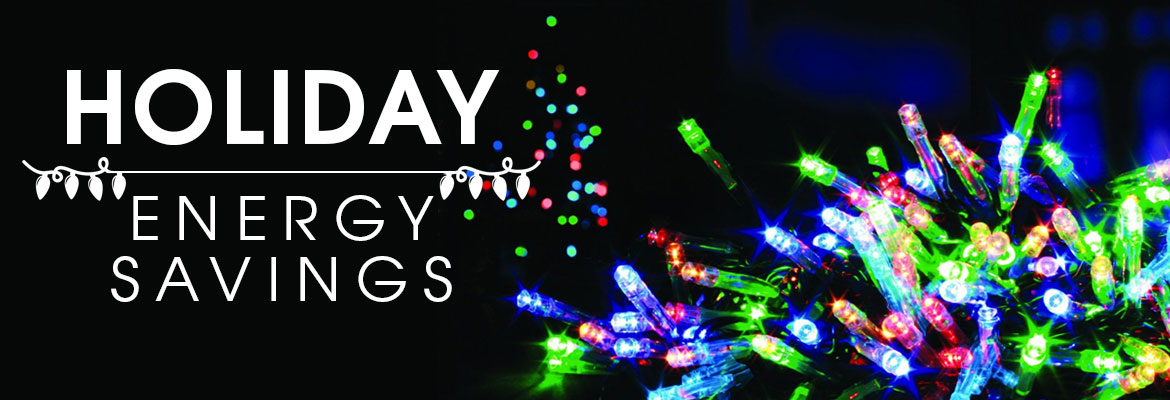
Holiday Energy Savings
The holiday season is upon us. Decorating, holiday gatherings and gift buying are in full swing. Here are a few tips to keep your energy-saving efforts intact while enjoying all the festivities.
Decorate with LED holiday lights. LED lights are more efficient, last longer and are safer than standard incandescent lights. The initial purchase cost is higher, but LEDs use much less energy and produce a lot less heat.
Holiday gatherings usually mean a lot of cooking. Don’t peek inside the oven. Each time you open the oven door, the temperature drops by as much as 25 degrees – forcing the oven to use more energy. It’s not necessary to pre-heat the oven for baking times over one hour. You can turn off the burner 5 to 10 minutes before the dish is done on an electric stove-top. Keep the lid on until time is up.
When it comes to gift buying, consider purchasing ENERGY STAR qualified items. Electronics such as computers, TVs and other appliances are popular choices. ENERGY STAR qualified products may cost more up front, but they will save in energy use for years to come.
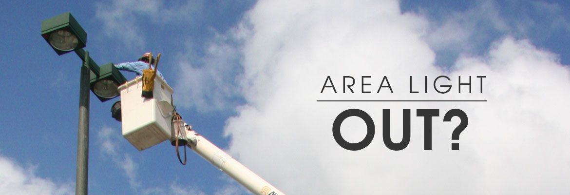
Area Light Out?
Do you or a neighbor have a SECO Energy area light that isn’t working properly? Is the light blinking, shining during daylight hours or off completely? Report area light problems day or night on our website. Lights are usually repaired within 72 hours. Have the pole number and location on hand if possible.

Expressions
Members expressed their appreciation for the SECO Team’s hard work during Hurricane Matthew’s aftermath via our websites Contact Us page.
Larry Grose – I’ve been dealing with the public for many years and I am aware of people being the first to complain and seldom to offer atta-boys. I just would like to ask that you pass this along to the proper personnel. I want to offer an atta-boy and sincerely thank those involved for their hard work and restoring power to the homes on Firefox Lane. Your work is greatly appreciated and you are an asset to your employer and community.
Clint Moseley – I wanted to take some time to say thanks for the hard work of the folks at SECO Energy. Hurricane Matthew came through my area and I only lost power once in the middle of the night, which I suspect may have been a maintenance issue. I really appreciate it so much. You guys are wonderful and I am very lucky to have such a dedicated group of people servicing my energy needs. Thank you again and I hope you get more letters of gratitude because you guys deserve it!