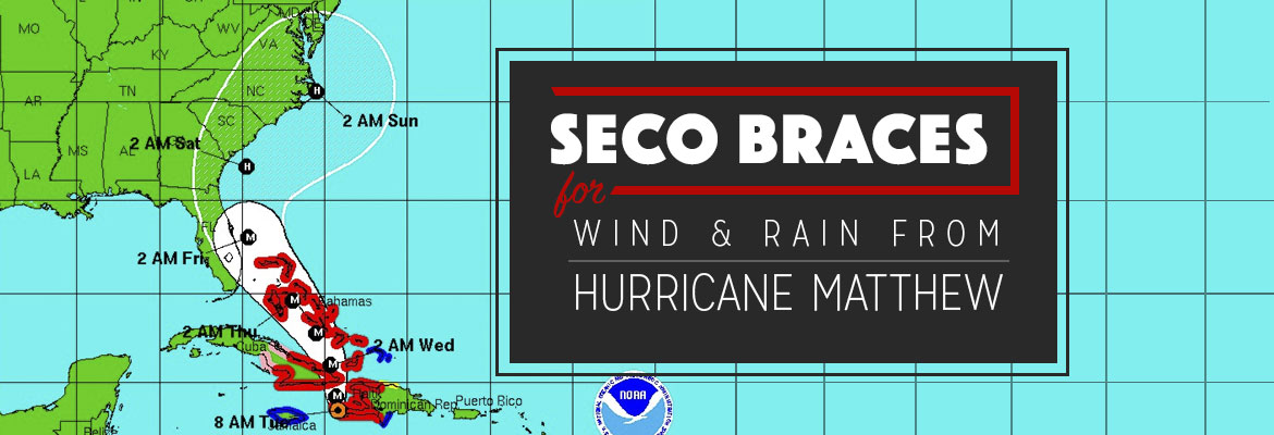
SECO braces for wind and rain from Hurricane Matthew

SECO braces for wind and rain from Hurricane Matthew

SECO Energy is warning members that Hurricane Matthew will bring rain and wind to its service territory.   As of Tuesday morning, Hurricane Matthew is a Category 4 storm with maximum sustained winds of 145 mph. The storm is located 165 miles east-southeast of Kingston, Jamaica and is moving north at 8 mph. Matthew is […]

Read More »
SECO Recovers Quickly from Hurricane Hermine Pounding

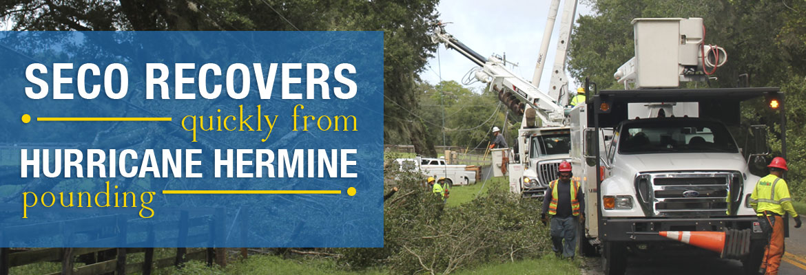
SECO Recovers Quickly from Hurricane Hermine Pounding

Late Thursday night and early Friday morning, Hurricane Hermine pounded SECO’s service territory with buckets of rain and high winds as it sped toward the Florida Panhandle.  In addition to the storms, WESH Channel 2 advised at least one tornado touched down in Sumter County near Webster. This event began a series of weather-related outages […]

Read More »
Hurricane Hermine Wake and Restoration Process

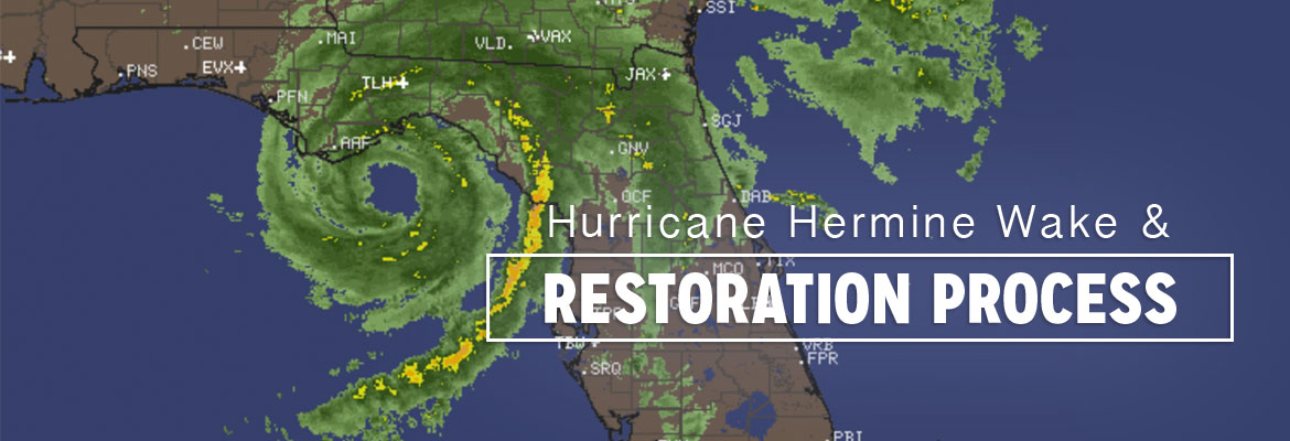
Hurricane Hermine Wake and Restoration Process

Overnight, the SECO Energy system held up remarkably well given the high winds and rain that came in the wake of Hurricane Hermine.  At height of the Thursday overnight outages, about 7,500 members were without power. As of 8 am on Friday, about 3,000 members remain without power.   Employees worked throughout the night and […]

Read More »
Hermine Upgraded to Hurricane

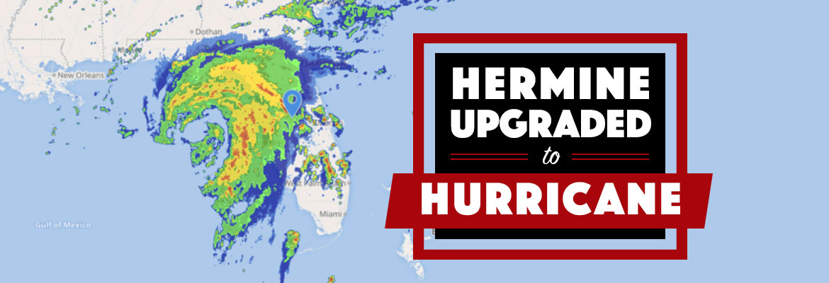
Hermine Upgraded to Hurricane

On Thursday afternoon, the National Hurricane Center upgraded Tropical Storm Hermine to a Category 1 hurricane. Maximum sustained winds have increased to 75 mph. Currently, the hurricane is 115 miles south-southwest of Apalachicola and is moving north-northeast at 14 mph. Locally, tornado warnings have been issued for several counties in SECO’s service area.   SECO […]

Read More »
SECO Braced for Tropical Storm Hermine

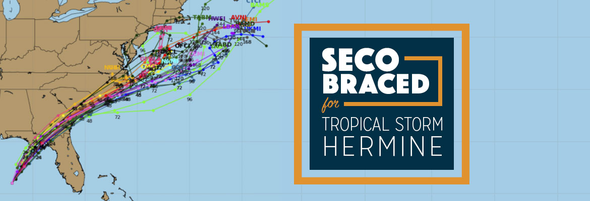
SECO Braced for Tropical Storm Hermine

On Thursday morning, Tropical Storm Hermine turned northeast and is moving at 12 mph. Hermine’s maximum sustained winds are 60 mph with higher gusts, and tropical-storm-force winds extend up to 140 miles east of the center. Current models show the track to our west. Hermine is forecast to hit the Florida coast as a hurricane […]

Read More »
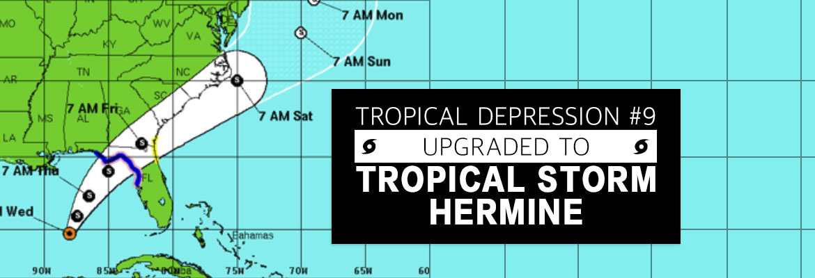
Tropical Depression #9 Upgraded to Tropical Storm Hermine

Tropical Depression #9 Upgraded to Tropical Storm Hermine

As of Wednesday afternoon, Tropical Depression #9 is upgraded. Tropical Storm Hermine’s (pronounced Her-MEAN) maximum sustained winds are 40 mph and its location is 400 miles south of Apalachicola and is moving very slowly north at 2 mph. Hermine is expected to increase in speed when turning northeast toward Florida’s west coast. The latest models,predict […]

Read More »
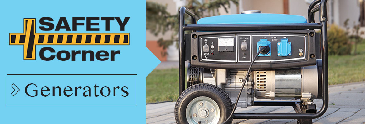
Storm Preparation & Generator Safety

Storm Preparation & Generator Safety

Portable Generators:   During storm and hurricane season, a portable generator can come in handy if your power is interrupted, but portable generators must always be used with safety in mind.  Read and follow the manufacturer’s safety instructions contained in the generator operations manual.   According to the National Safety Council, www.nsc.org, generators should NEVER […]

Read More »
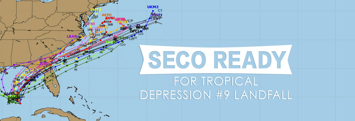
SECO Ready for TD#9 Landfall

SECO Ready for TD#9 Landfall

As of Tuesday morning, Tropical Depression #9 (TD#9) is located about 240 miles west of Key West and 200 miles west-northwest of Cuba. The National Hurricane Center is predicting TD#9 will strengthen into a tropical storm today.   TD#9 has maximum sustained winds of 35 mph, and is moving west-northwest at 7 mph. The storm […]

Read More »
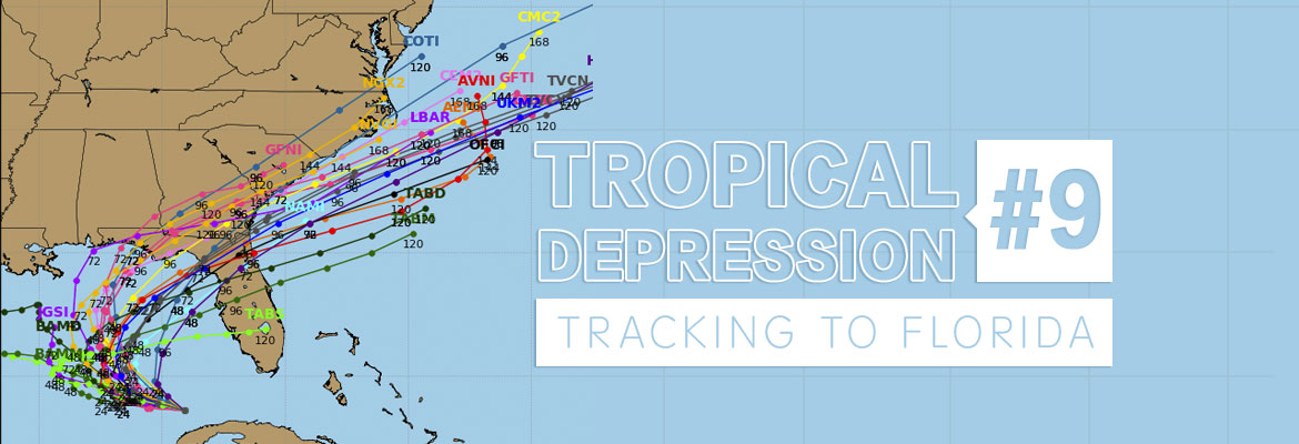
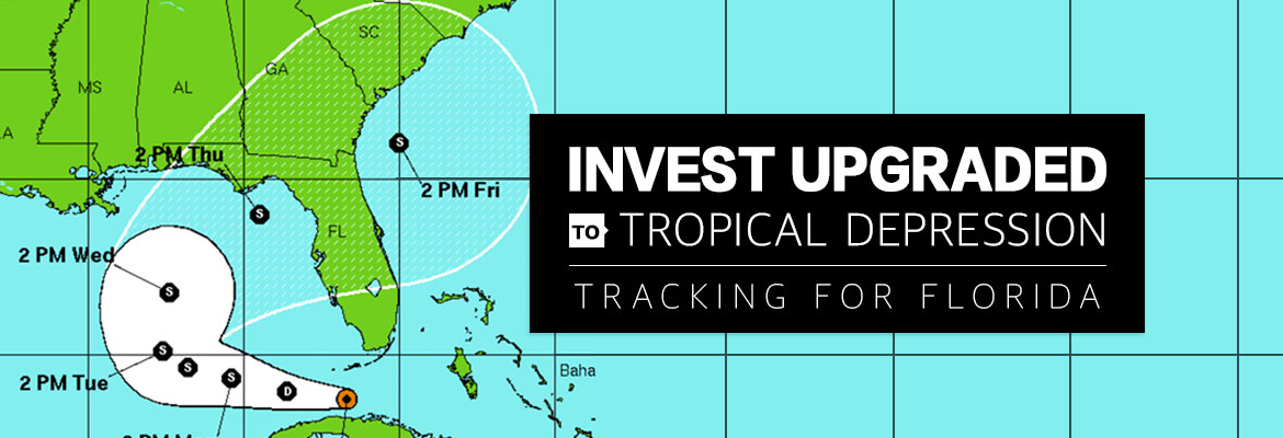
Tropical Depression #9 Tracking to Florida

Tropical Depression #9 Tracking to Florida

National Hurricane Center has upgraded Invest 99 to Tropical Depression #9 (TD#9). As of Monday morning, the storm is currently located 25 to 35 miles northwest of Havana, Cuba and 100 miles southwest of Key West, Florida. Tropical Depression #9 is expected to track west to west-northwest and into the southeastern Gulf of Mexico through […]

Read More »