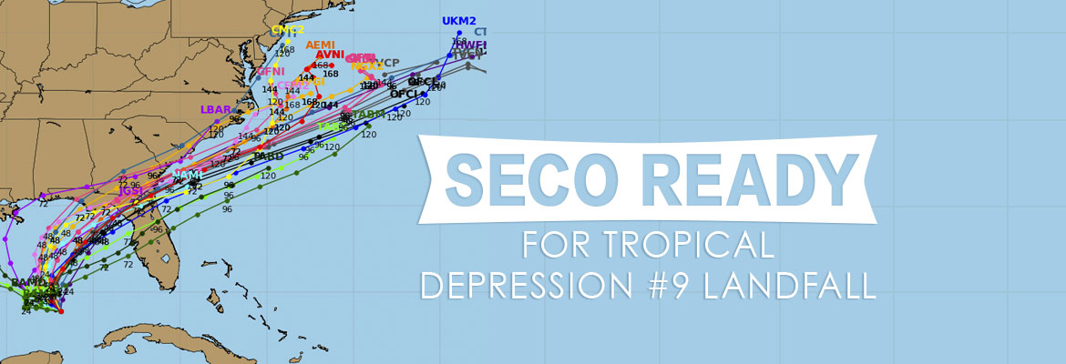
SECO Ready for TD#9 Landfall
As of Tuesday morning, Tropical Depression #9 (TD#9) is located about 240 miles west of Key West and 200 miles west-northwest of Cuba. The National Hurricane Center is predicting TD#9 will strengthen into a tropical storm today.
TD#9 has maximum sustained winds of 35 mph, and is moving west-northwest at 7 mph. The storm is expected to turn northeastward on Wednesday with a slight speed increase. Models are forecasting that TD#9 will make landfall as a tropical storm, or a weak Category 1 hurricane on Thursday afternoon or evening near the Florida Big Bend between Apalachicola and Cross City. The system will track east-northeastward, emerging off the northeast Florida coast early Friday morning.
The forecast above is based on the NHC projections for the state. Showers and thunderstorms will continue to impact SECO’s service area this week – with the greatest coverage of rain on Thursday as it travels through central and northern Florida. SECO members should see an increase in wind gusts from today through Thursday. Sustained tropical-storm-force winds may impact parts of the service territory Thursday night, especially from Inverness to Ocala northward in a 3 to 6-hour period (with higher winds if landfall is a weak Category 1 hurricane). There is a slim chance for tornadoes by Wednesday and Thursday.
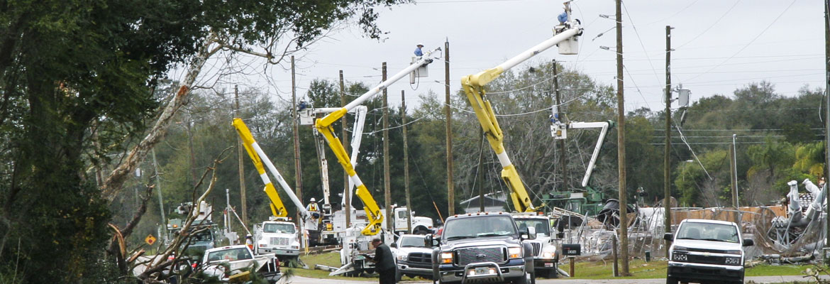
SECO is Storm Ready – the cooperative has staged additional Operations and contractor personnel who are ready to respond to member concerns or service interruptions in the field quickly and safely. Our locally-based customer service staff is ready and available to respond to member inquiries in person, by phone or online. Members should ensure their smartphones/tablets are charged and report outages online through Storm Center. SECO has provided an emergency checklist for members.
As a not-for-profit electric cooperative, SECO is dedicated to being its members’ first source for accurate storm information. “Like” SECO’s Facebook page and “follow” the company on Twitter to stay updated about storms affecting your area. For members who rely on back-up generators during storm season, remember to read and follow all manufacturer’s safety warnings. Learn more about generator safety here.