Post Hurricane Milton Restoration Ongoing
Restoration continues across SECO Energy’s 2,100-square-mile territory after Hurricane Milton passed through Central Florida. At the peak, over 100,000 SECO members’ electric service was interrupted due to damaging wind speeds and heavy rains. Progress is steady; just over 10,500 services are waiting for restoration as of early this morning; restoration is ongoing through the weekend and early this week.
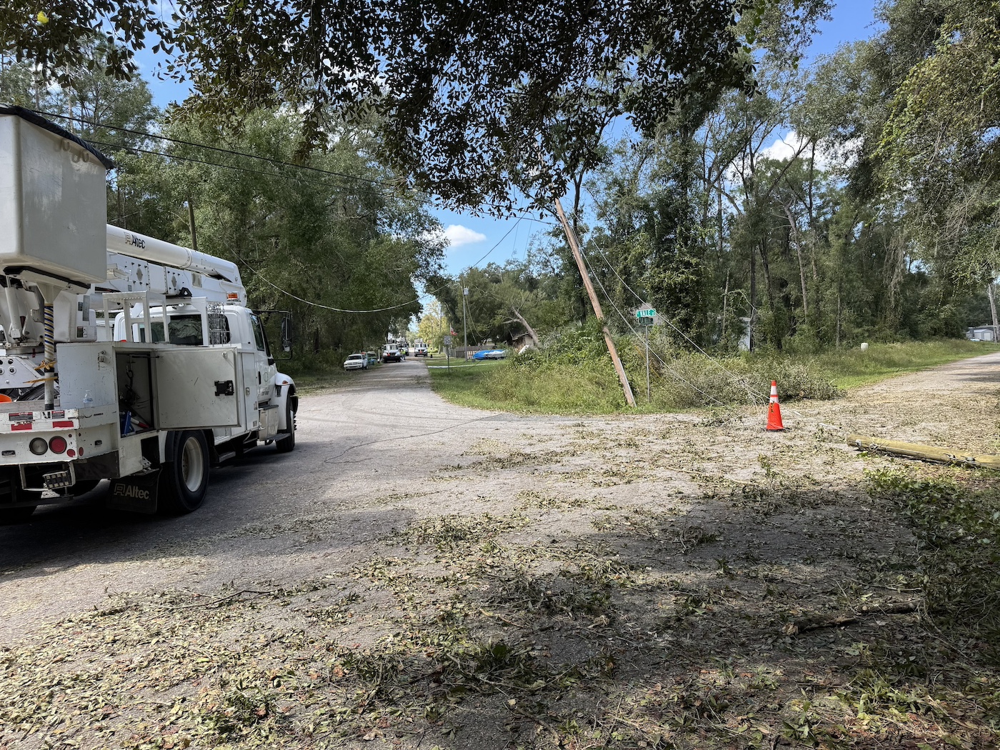
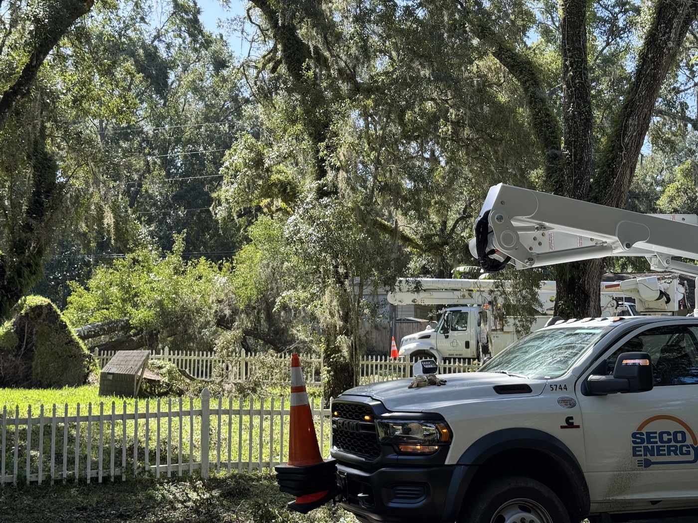
SECO Energy’s service area has not experienced such widespread damage since Hurricane Irma in 2017. Over 300 additional crews arrived yesterday and got to work with the SECO home team. All crews that arrive onsite first attend a safety briefing that includes an overview of the damage to the system, hazards crews may face in the field, and SECO’s construction standards.
Progress Timeline:
- Over 100,000, or 41% of SECO Energy’s 245,000, members experienced service interruption due to Hurricane Milton’s intense wind and rain. Significant progress has been made in restoring power to affected members from the impact of Hurricane Milton, which made landfall near Siesta Key late Wednesday night.
- On day one of restoration, the team restored over 55,000 accounts, reducing the percentage of SECO members without power to 18%. All critical accounts were restored; per Florida mandates, critical accounts are the priority. Transmission lines that provide service to substations and large groups of members were also restored. Crews began assessing damage to feeder lines and lateral lines.
- On day two, crews continued to repair broken poles and downed trees. Damage assessments continued. By the end of the day on Friday, an additional 23,000 services were restored.
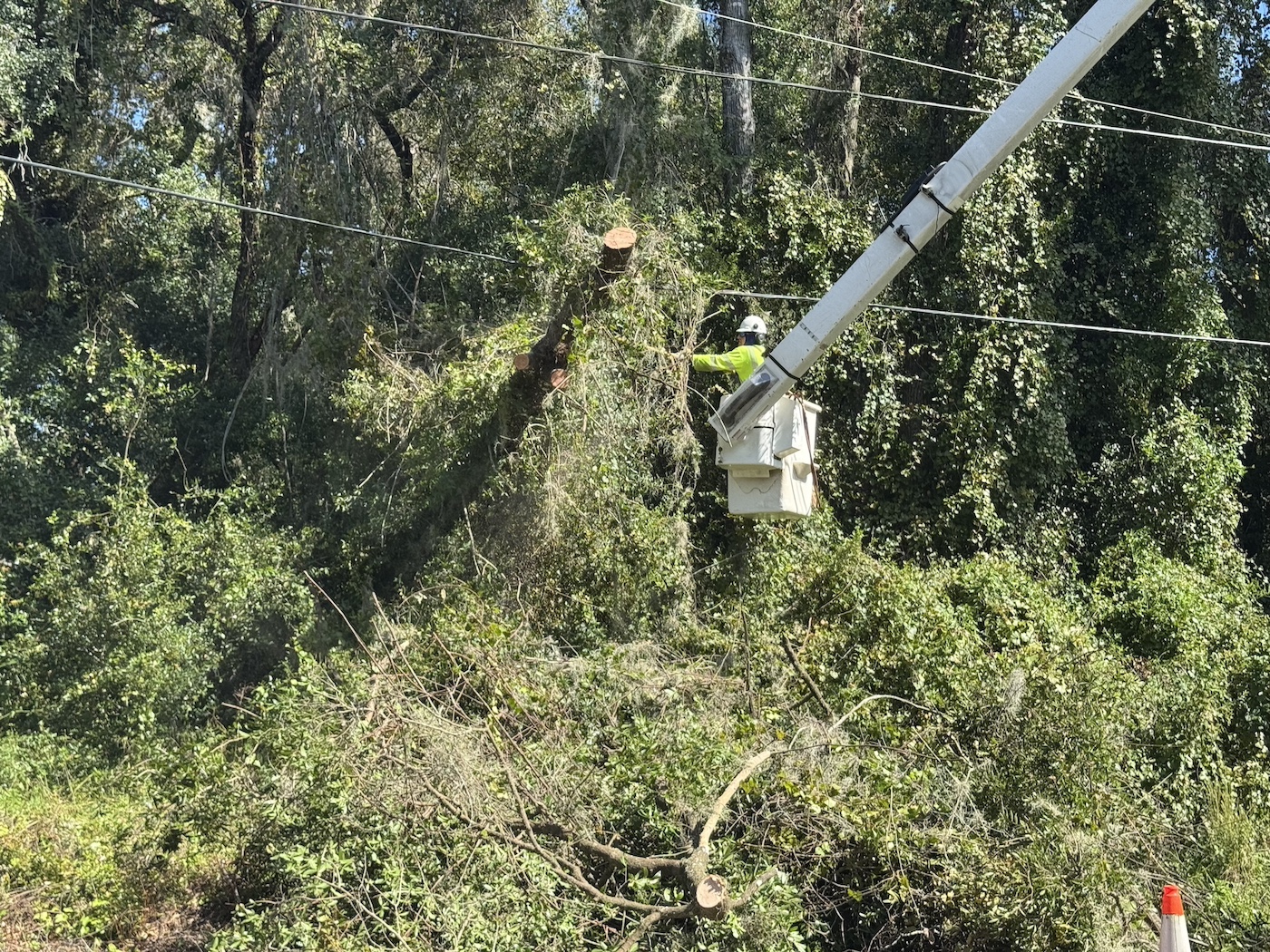
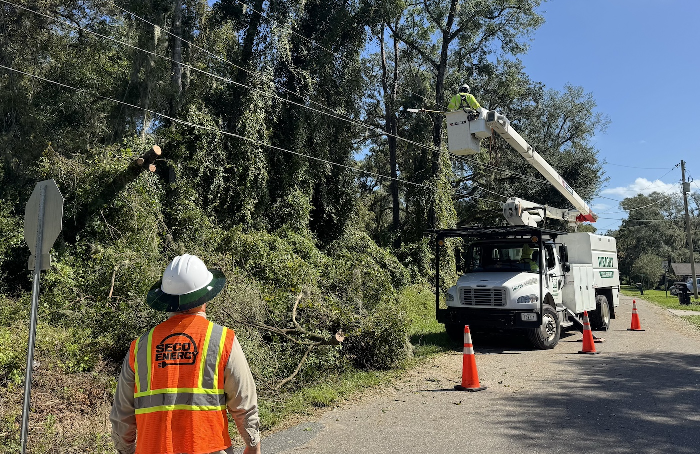
- On day three, work and damage assessments continued. Crews rebuilt feeder lines, replaced poles, and removed broken trees. Fresh mutual aid arrived and got to work, with crews restoring over 10,000 members’ services by the night’s end.
“Day four of Hurricane Milton brings new challenges as our SECO home team crews and our mutual aid line and tree crews move into some of the most heavily damaged areas,” said Curtis Wynn, CEO of SECO Energy. “Electricity is an essential service; four days without it is a major hardship, and we understand that members without service need their power restored so they can get back to normal day-to-day activities. Please continue to be patient with our team and contractors who are working in the field and behind the scenes to repair the damage caused by Hurricane Milton. They are working long hours and desperately want to see your lights come back on, too.”
Restoration and recovery in some communities is a long process due to the substantial number of outages caused by downed lines, broken poles, flooding, fallen trees, and other damage curtailing restoration work. Do not enter a work zone – this is a safety hazard and slows work progress. Crews may need to leave a jobsite to respond to an emergency or get materials; they will return to complete the job.
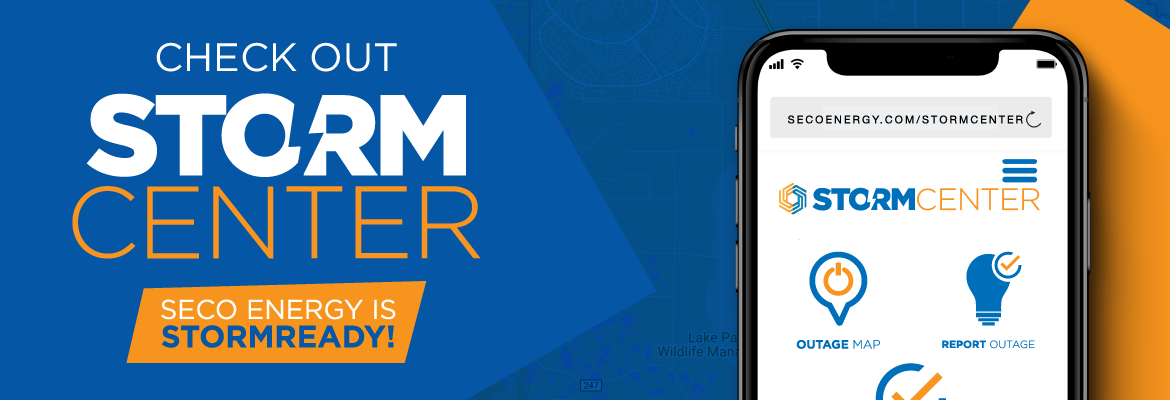
For outage reporting and updates, SECO Energy offers StormCenter, an outage and communications platform. Members can report outages, check the status of an outage, and sign up for alerts via email, text, or phone. Visit SECOEnergy.com > StormCenter and bookmark the page for quick access.
Stay away from downed wires. Always assume they are energized. Call 911 if you see a downed line. Members who require electricity to operate medical equipment should consider investing in a backup power source or have a relocation plan during extended power outages. Follow manufacturer’s safety instructions if you use a portable generator. Do not run a portable generator while sleeping. Carbon monoxide is emitted from a generator’s exhaust; it is deadly, colorless, and odorless. Avoid the risk of carbon monoxide poisoning by placing portable generators outside in a well-ventilated area, more than 20 feet away from your home, doors, and windows. Never run a generator inside, not even in your garage. Do not connect the generator directly to your home’s main fuse box or circuit panel.
For more storm safety tips, visit Ready.gov or download the American Red Cross’s Emergency Severe Weather App by texting “GETEMERGENCY” to 90999.