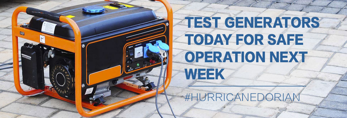
Test Generators Today for Safe Operation Next Week
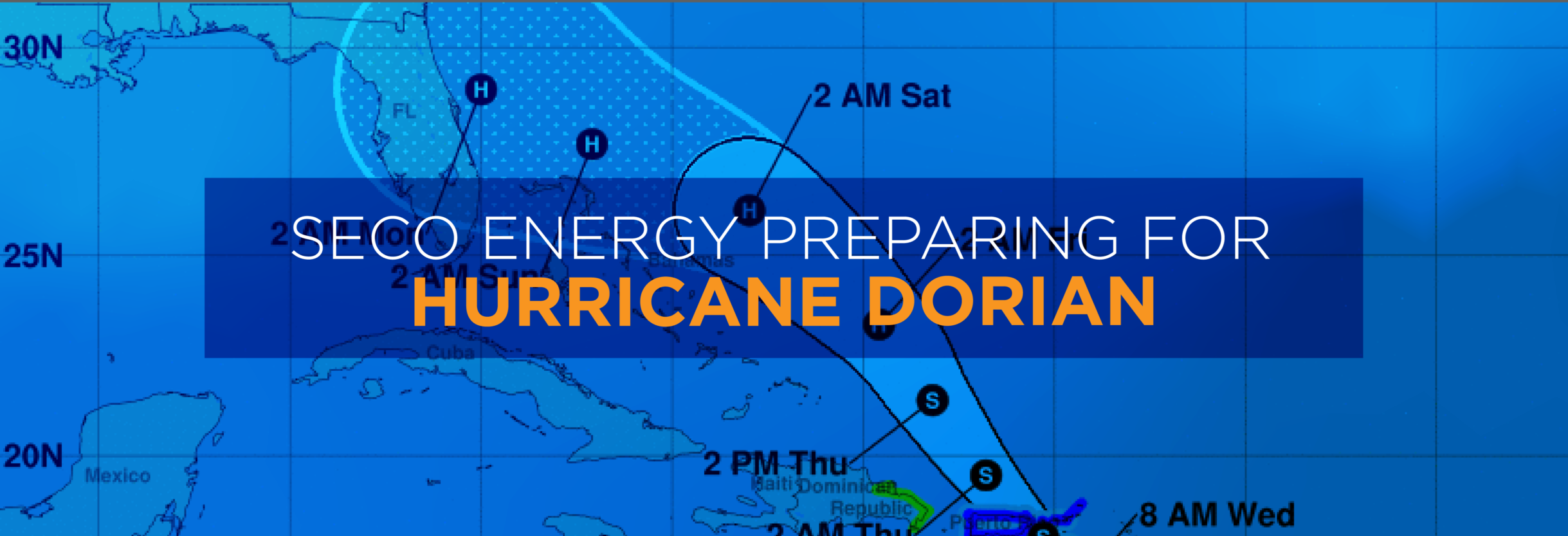
SECO Energy continues to monitor Hurricane Dorian’s uncertain track as it nears the Florida peninsula. Hurricane Dorian is now a Category 4 hurricane, but its track shifted to the east overnight. Forecasters predict Dorian may not make a Florida landfall. Instead it may travel along Florida’s east coast as a powerful CAT 3 or 4 hurricane, but hurricane-force winds extend for 30 miles and tropical storm force winds extend 105 miles. Even an off-coast path of a CAT 3 or 4 hurricane will impact SECO’s service territory – likely on Tuesday evening into Wednesday.
Major weather events often cause extended power outages. SECO Energy asks members using a generator to operate the equipment in a manner that promotes safety for yourself, SECO employees, its contractors and the public. Generators emit deadly carbon monoxide (CO) that is odorless and colorless. Thousands of people die each year from CO poisoning. Never operate a generator in an enclosed space including a garage. Always place the generator at least 15 to 20 feet away from your home and never in proximity to open windows.
Before operating a generator, thoroughly read and review the owner’s manual. Never plug a generator directly into an electrical outlet. This current flow is deadly for utility personnel. Keep children away from an operating generator and store fuel in approved containers. Do not smoke while fueling a generator. Always operate a generator in a dry space. If it is raining, use a canopy or cover. Test it today before the wind and rain hit next week. SECO Energy’s new Hurricane Handbook includes generator safety tips and preparation for before, during and after a storm.
CEO Jim Duncan warns members to remain vigilant. Duncan stated, “Hurricane Dorian’s track has shifted slightly to the east; however, SECO Energy’s service area will experience the effects of Dorian. Members should prepare for tropical-storm force winds and more rain in an already wet summer. Saturated ground will cause trees to fall on lines and may topple poles. Stay away from downed lines. Our members should prepare for the possibility of widespread and lengthy outages. If Dorian does not stay further offshore, we expect that damage may be significant and the restoration process lengthy.”
StormCenter is SECO Energy’s outage and communications platform for members to report outages, check the status of an existing outage and enroll in outage communications and alerts via email, text, voice or all three. Visit StormCenter today and bookmark on your smartphone or tablet to report outages quickly and easily. Once the hurricane has passed SECO’s area later next week, members should use our Daily Restoration Plan Map to identify if crews are working in their area that day. Click on the homepage banner to access the map.
Stay up to date on weather affecting SECO Energy’s service area, the latest news releases and cooperative updates by “liking” SECO’s Facebook page and “follow” @SECOEnergy on Twitter.