Duncan’s Digest – Peak of Hurricane Season
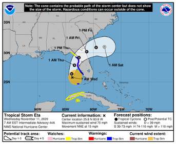
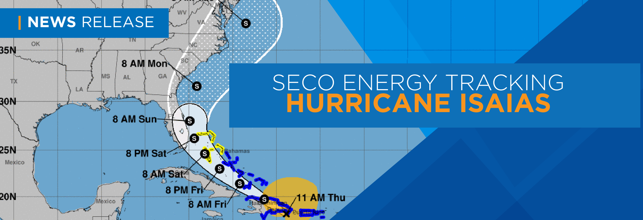
The 2020 Atlantic hurricane season has been especially active. According to the National Oceanic and Atmospheric Administration (NOAA), the possibility of a hurricane forming is highest during September.
Hurricanes are massive tropical cyclones. Typically, hurricanes reach a width of 300 miles or more. The distinctive center eye is a calm space, while the eyewall outside of the eye holds the densest clouds and the storm’s highest winds. A storm’s outer rainbands are heavy thunderstorms that bring rain, lightning and tornadoes. These bands can extend out as much as 300 miles from the storm’s center eye. Hurricane-force winds – 74 mph and higher – can extend to 150 miles outward from the eye. Tropical-storm force winds – 39 mph to 73 mph – can reach out as far as 300 miles.
The right side of the storm is the most dangerous. A storm’s side is relative to its path. A westward-moving storm’s right side is north. Cyclone storms spin counterclockwise in the northern hemisphere and move forward as well. On a storm’s right side, the winds are moving in the same direction as its forward motion. These two velocities create higher wind speeds; thus, the likelihood of storm surges, stronger winds and tornadoes is higher on the storm’s right side than the left.
Living in Florida, the threat of hurricanes is a yearly reality. Unfortunately, these storms can cause extended power outages even for a system like SECO’s that is well constructed and rigorously inspected and maintained.
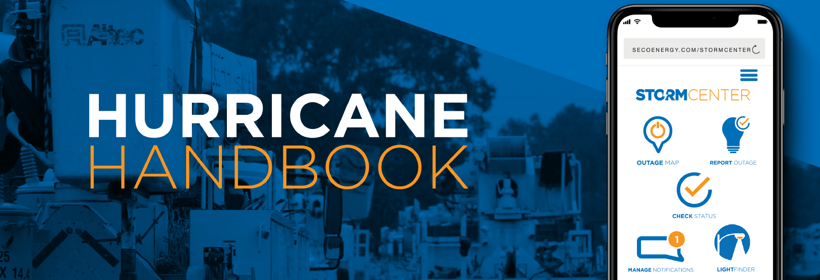
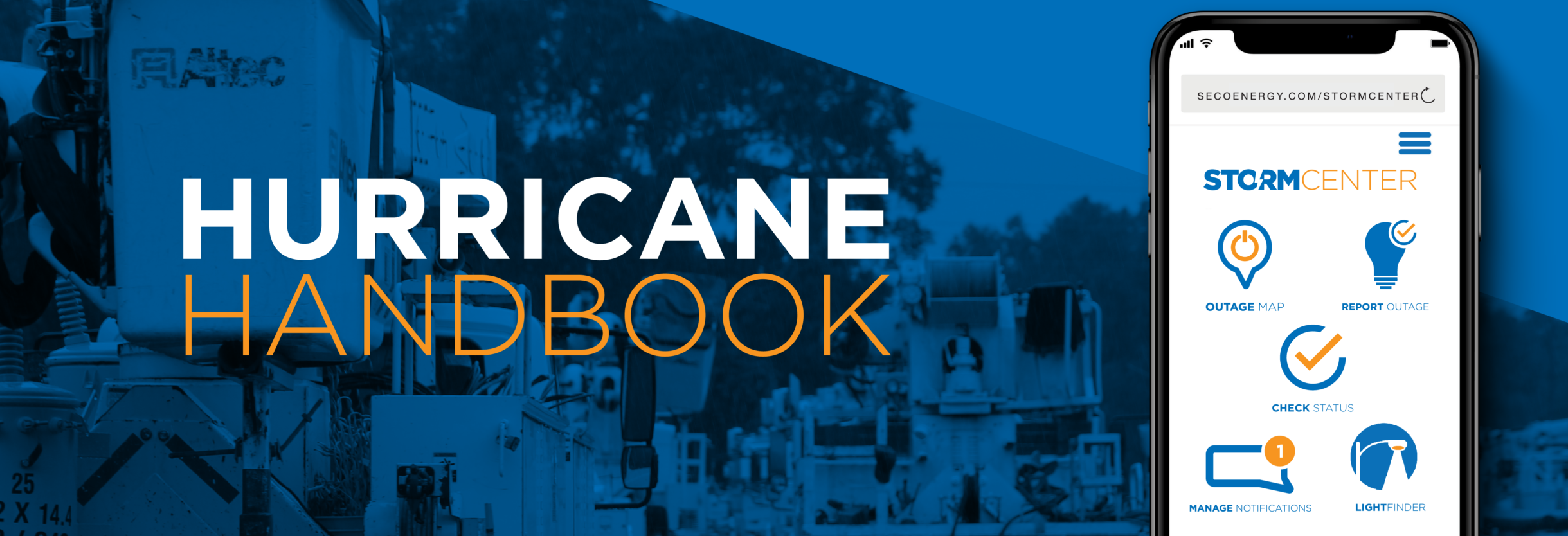
I urge you to prepare for the worst. This month’s edition of SECO News focuses on preparing for a storm, what to do during and after a storm and interesting facts and information found in our Hurricane Handbook – available online and as a brochure from one of our Member Service Centers. Review our “people and pets” supply list, enroll in outage notifications and alerts through StormCenter, sign up for the Florida Special Needs Registry, research generator safety tips and more.
SECO Energy is StormReady and prepared for the possibility of tropical storms and hurricanes that may come our way. COVID-19 may complicate an emergency restoration response this year, so patience and cooperation will play an even more important role than in the past. I assure you that we will perform at our very best within the bounds of health and safety for both members and employees.
Sincerely,
Jim Duncan
Chief Executive Officer
*source: www.weather.gov and www.noaa.gov
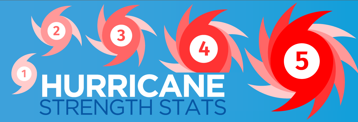
Hurricane Strength Stats
The Saffir–Simpson wind scale classifies hurricanes that exceed the intensities of tropical depressions and tropical storms into five categories distinguished by the intensities of sustained winds.
CAT 1 74 to 95 MPH
CAT 2 96 to 110 MPH
CAT 3 111 to 129 MPH (major)
CAT 4 130 to 156 MPH (major)
CAT 5 157 MPH or HIGHER (major)
Even tropical storms can cause significant damage and flooding. Most storm casualties are from drowning and not wind. Always heed weather warnings, evacuate as instructed and don’t drive into high water. Keep your family safe.
Restoration Priority – Who’s First?
SECO Energy provides world-class reliability to 200,000+ homes and businesses. Unexpected outages due to weather, vehicle accidents, equipment issues, animal or tree contact with lines result in utilities being unable to guarantee 100 percent uninterrupted electric service.
During emergency restoration with widespread damage, SECO Energy’s first responsibilities are shelters, hospitals, schools and government agencies like emergency ops centers, fire stations and law enforcement facilities. SECO’s next priority is large commercial accounts supplying food, water and damage-recovery supplies. Feeders with the largest number of members served are next. Our goal is to restore service to the highest volume of members as quickly as possible.
Disconnecting in Advance: Myth or Fact?
Many years ago, it was a common practice for utilities to completely de-energize their electric systems ahead of a storm to prevent damage during the storm. SECO Energy does not employ this practice.
Florida’s Special Needs Registry:
Do you have a family member who lives in your home who has special needs? Register with the Florida Division of Emergency Management at floridadisaster.org before a storm hits to receive county-specific lifesaving information. If an evacuation or emergency is declared, you will receive alert information from local emergency management by signing up with your county’s emergency alert notifications (Alert Citrus, Alert Hernando, Alert Marion, Alert Levy, Alert Lake, Alert Sumter, Alert Pasco). Visit your county’s Emergency Operations online to sign up for the alerts you would like to receive.
Members Using Medical Equipment:
Residential members’ accounts coded as having medically necessary service are not the priority after a storm with widespread damage. These members should prepare before storm season for the possibility of extended outages that could last for days. If you are dependent on electric-powered medical equipment, register with your county emergency management center’s Special Needs Registry. Most important, purchase a generator for use during power outages.
Outage Notifications:
Visit us online and click StormCenter at the top right. Scroll down and select “Manage Notifications.” Log in with your account number or phone number. View and update your preferences for email, text or voice notifications. Set do not disturb parameters.
Add StormCenter App to Mobile Device Home Screen:
Click the StormCenter menu on our website. Select the Outage Map tile. Tap the Share Arrow. Select “Add to Home Screen” from options.
Bookmark Daily Restoration Plan Map:
SECO utilizes this interactive map when the Emergency Response Plan is activated. This map is different from the StormCenter outage map. The Restoration Plan Map displays the areas where crews are working each day and helps you know when you can reasonably expect service restoration. Access this map from the website home page banner during emergencies.
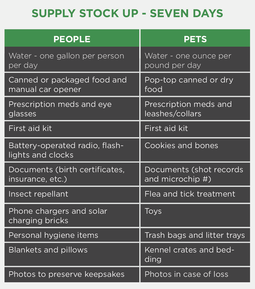
Supply Stock Up – Seven Days
Pro Tips:
Turn your refrigerator and freezer to the coldest settings. Only open refrigerator and freezer doors when necessary. Move freezable foods into the freezer. A refrigerator will keep food cold for about four hours after a power outage; a full freezer will keep food frozen for about 48 hours.
Move your emergency supplies into a secure room with no windows or fireplaces.
Hunker Down – Stay Informed
During a storm, remain indoors and prepare to wait out the weather safely. Stay informed with a battery-powered weather radio. Be ready to relocate your family and pets to a secure location in your home with no windows or fireplaces. Break out the family board games and preserve your phone’s battery power.
No Restoration in Winds Above 35 MPH
SECO Energy invests heavily in an aggressive vegetation management program to keep our overhead lines clear. Still, severe storms with high winds create tree-related outages. Once sustained wind speeds reach 35 mph, it is not safe to use bucket trucks or perform restoration. When wind speeds have fallen below 35 mph, SECO deploys employees and mutual aid to begin restoration.
Tornadoes – Watch vs. Warning
Tornadoes are vertical funnels of rapidly spinning air, often referred to as nature’s most violent storm. Winds can reach speeds of 300 mph. Tornadoes are associated with severe thunderstorms. Tornadoes are likely during a hurricane.
Tornado Watch: Tornadoes are possible in/near the watch area. Check supplies and your safe room. Be ready to act fast if a warning is issued or you suspect a tornado is approaching.
Tornado Warning: A tornado has been sighted or indicated by weather radar. There is imminent danger to life and property. Go immediately to your safe room, interior room or hallway. Avoid windows.
If you experience a tornado, stay clear of downed power wires and damaged buildings. Treat downed lines as if they are energized.
Electric System 101
High Voltage Transmission Lines: These supply power to our 48 substations that serve 210,000+ homes and businesses. If a storm damages a transmission line, substations also lose power. Much of the transmission serving SECO’s substations is owned/operated by Duke Energy. If Duke’s lines are down, SECO cannot restore power to members until these lines are repaired.
Distribution Substation: A substation serves thousands of members. Our line crews inspect substations to determine if problems stem from transmission lines feeding into the substation, the substation itself, or if problems exist further down the feeders and lateral lines.
Feeder Distribution Lines: When problems cannot be isolated at a substation, distribution lines are inspected. These larger lines originate from substations and distribute power to large groups of members in our service area.
Lateral Distribution Lines: These smaller lines deliver power to transformers, either mounted on poles or placed on pads for underground service and provide power to smaller groups of members in less densely populated areas.
Service Lines: The service line is the line between a transformer and your residence or business.
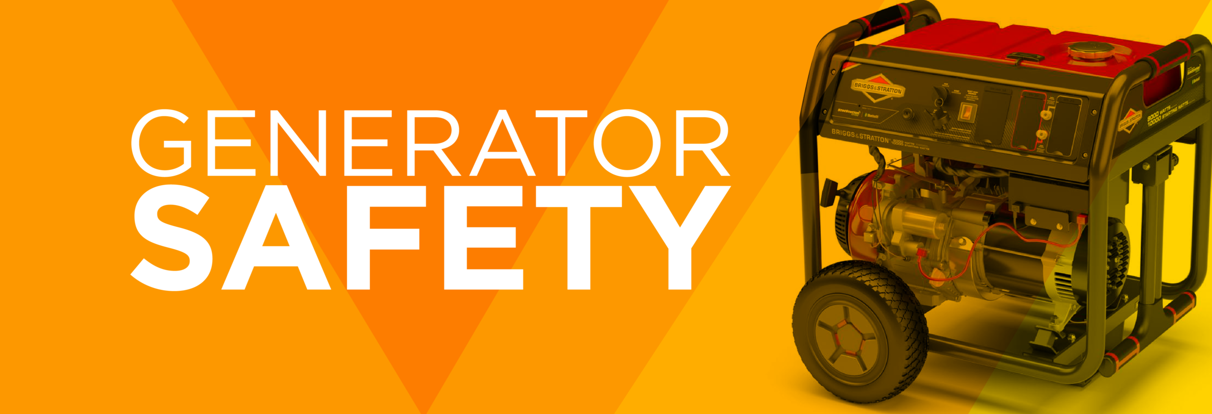
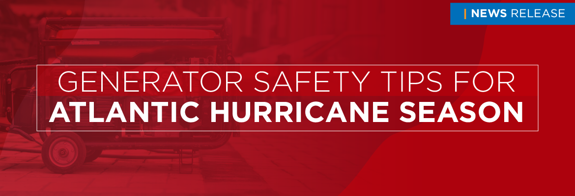
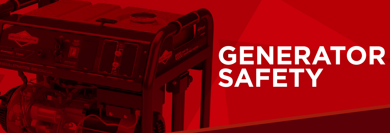
Generator Safety
Stationary Generator: A permanently affixed generator installed by a licensed technician with an approved disconnect and transfer switch that isolates your home’s circuits from SECO Energy and eliminates the risk of backfeeding on utility lines.
Portable Generator: A common type of generator that does not require a licensed technician to install. Use extension cords to plug certain appliances into the outlets on the generator. Never operate indoors.
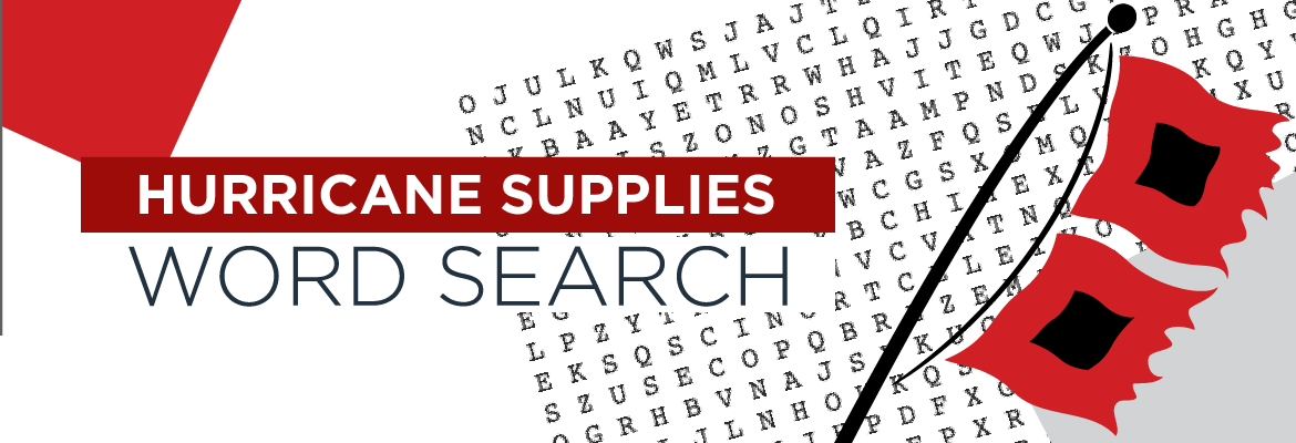
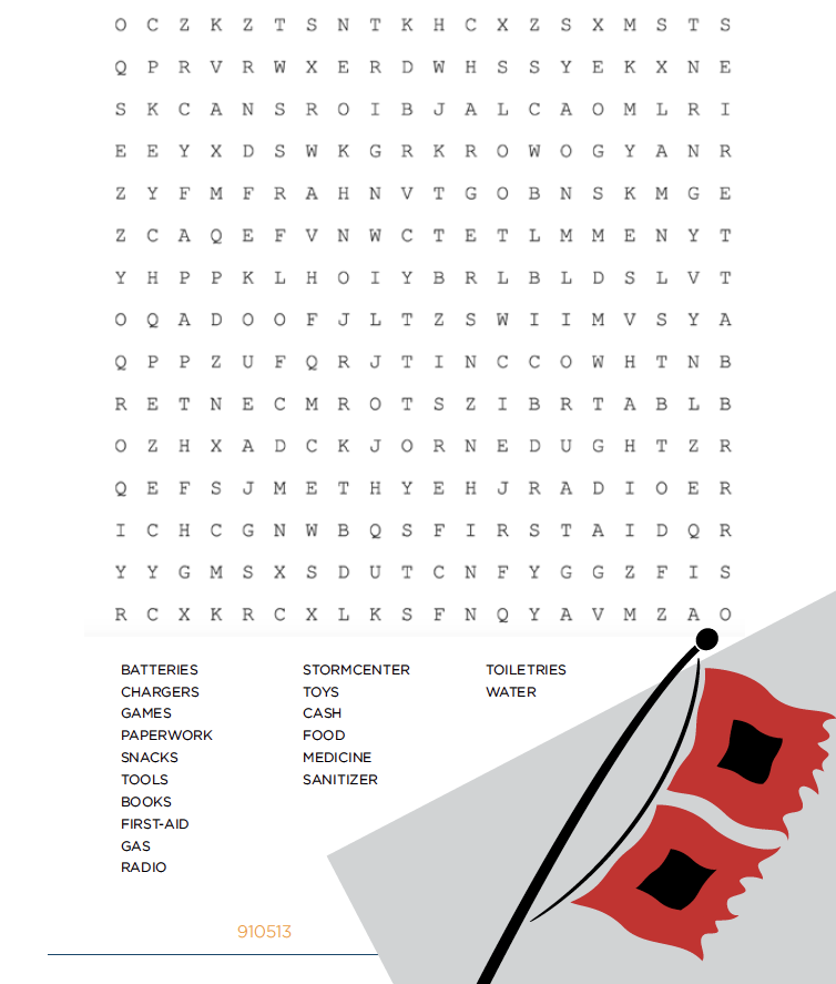
Hurricane Supplies Word Search
Need help deciding what to include in your hurricane supply kit? Complete our hurricane supplies word search to get started. You can find a list of hurricane essentials on our Storm Preparation page.
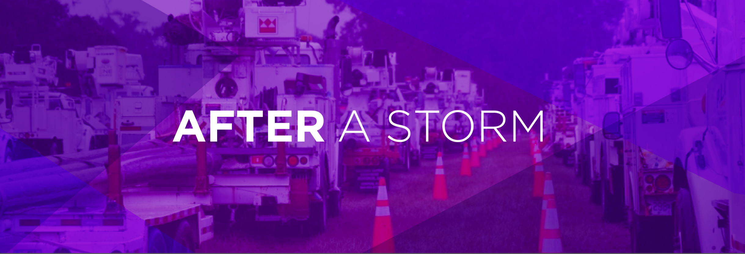
Return Home – Assess Damage
If your home or business is damaged and it is safe, turn off your main breaker to prevent fires. If appliances are wet, turn off each appliance’s main breaker. Once you’ve turned the breaker off, unplug the wet appliance.
If fuses blow when your power is restored, turn off the breakers and contact a licensed electrician. Always call an electrician or an appliance repair service if in doubt.
Debris Cleanup
Once a storm has passed, ensure that you and your home are safe while power is being restored. Do not make debris piles that interfere with utility trucks. Keep piles away from power lines, transformers and downed lines for safety and speedy restoration. Call your county’s emergency operations center if public roadway debris prevents utility and emergency vehicle access.
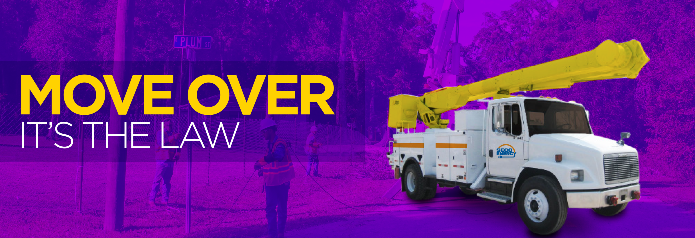
Move Over It’s The Law
• Move over a lane for law enforcement, emergency, sanitation, utility vehicles and tow trucks.
• If you can’t move over, slow to 20 mph less than the posted speed limit.
• If the posted speed limit is 20 mph or less, slow down to 5 mph.
#MoveOverFlorida
Safety Corner
Hurricanes, tropical storms and tornadoes bring high winds that can knock down power poles and bring power lines crashing to the ground. Wires and poles on the ground create a hazardous situation. Always assume lines on the ground are live and that you or a loved one can be injured or killed.
NEVER touch a downed pole or line. If poles or lines are down in your area, please stay away. Keep children and grandchildren safely inside where they cannot play near the downed poles or wires. Warn your neighbors of the danger.
If you see power poles or lines on the ground, call SECO Energy or 911 to report.
Read the full September 2020 SECO News online.