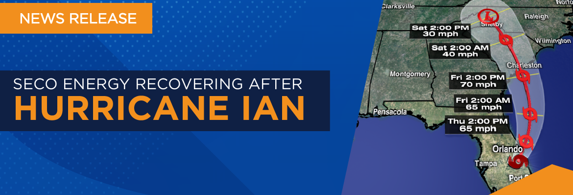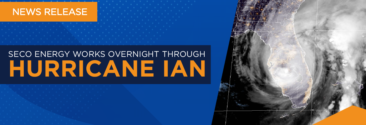
SECO Energy Recovers from Hurricane Idalia
SECO Energy is recovering from Hurricane Idalia as the storm’s outer rain bands and tropical storm-force winds moved across its Central Florida service area. SECO employees and contracted line and tree crews worked overnight Tuesday into Wednesday through inclement weather to restore service to members affected by power outages. SECO welcomed almost 500 mutual aid crews to aid in the restoration effort.
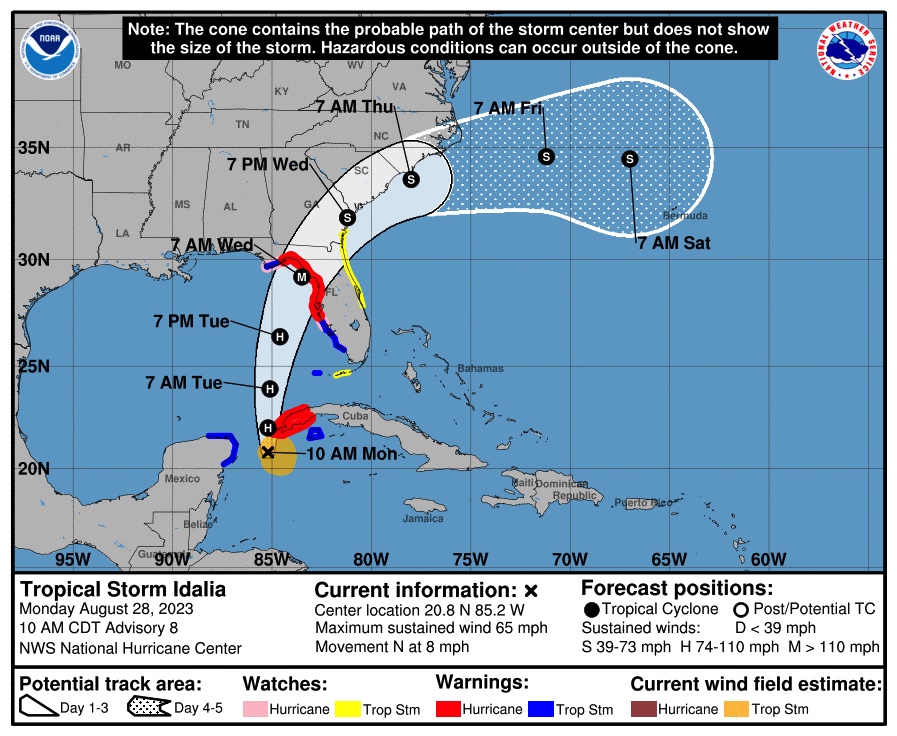
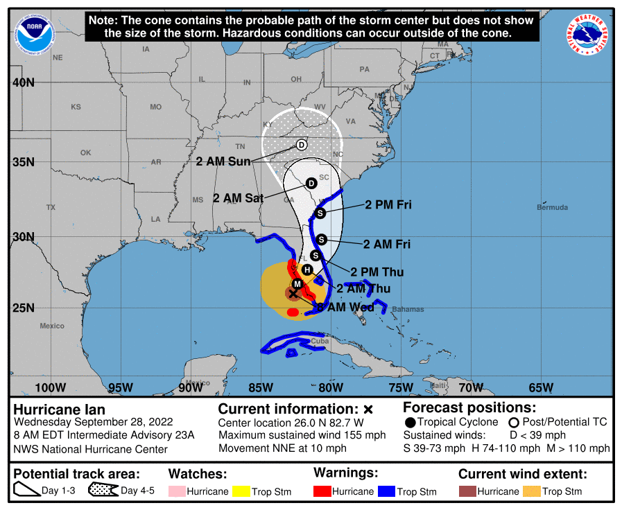
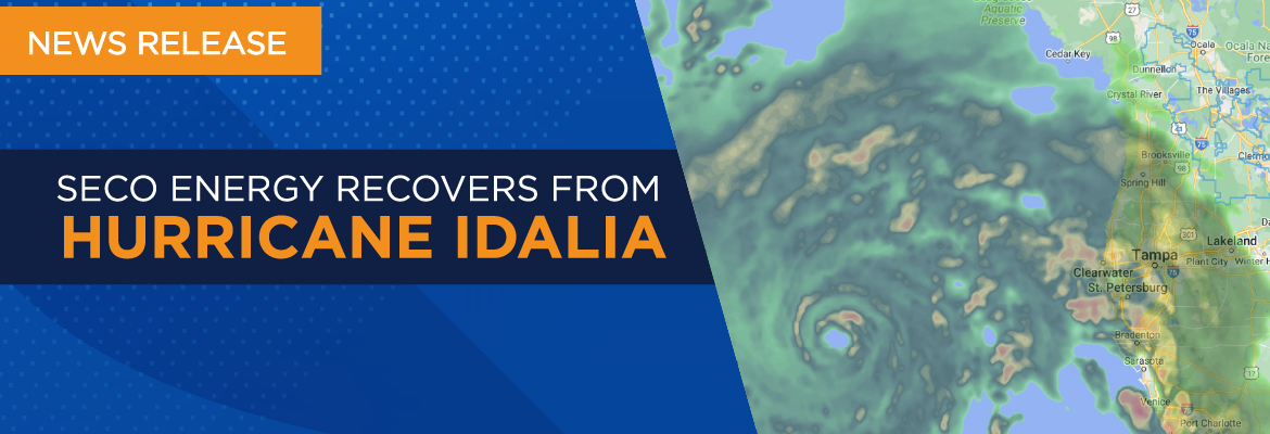
In the last 24 hours, just over 10,400 members experienced a service interruption due to Hurricane Idalia. As of 12:00 p.m., just over 600 accounts remain out of service. The hurricane made landfall near Keaton Beach at 7:45 a.m., sparing Central Florida from the heaviest winds and most severe damage imposed by the hurricane. Idalia’s wind and rain bands extended into the SECO Energy service territory late Tuesday night and early Wednesday morning as it moved north, nearly 100 miles west of Tampa Bay.
The Big Bend of Florida took the brunt of Hurricane Idalia’s Category 3 winds and unprecedented storm surge that pummeled the shoreline from Cedar Key to Horseshoe Beach. Extreme wind warnings were issued to parts of Taylor and Madison County, including the towns of Perry, Steinhatchee, Lee, Madison, Hanson and Pinetta.
CEO Curtis Wynn was grateful for the limited impact Hurricane Idalia had on the not-for-profit electric cooperative’s 230,000+ members and praised the SECO team and mutual aid crews for their preparation. Wynn stated, “Our team was exceptionally well-prepared for Hurricane Idalia and their response was second to none. We caught a break – Hurricane Idalia could have turned east and left us with massive outages and destruction. There is no guarantee with the weather. StormReady means that we prepare for and are ready for emergencies that storms often create. We bring in the appropriate number of outside contractors and, with our own team of employees, apply the appropriate response plan.”
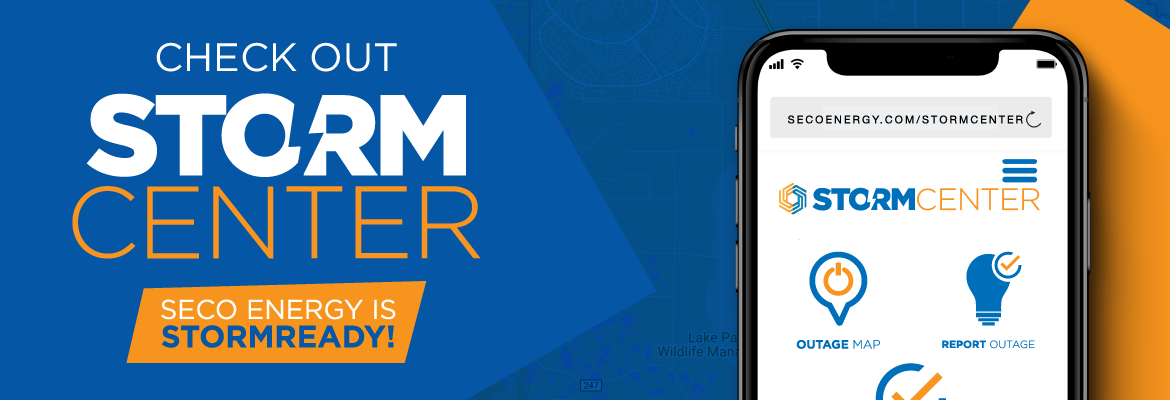
StormCenter is SECO Energy’s outage and communications platform for members to report outages, check the status of an existing outage and enroll in outage communications and alerts via email, text, voice or all three. Visit StormCenter and bookmark it on your smartphone or tablet to report outages quickly and easily.
SECO Energy’s Hurricane Handbook includes how to prepare before, during and after a storm. “Like” SECO Energy on Facebook and follow @SECOEnergy on X (formerly, Twitter) for news releases, and severe weather alerts affecting SECO Energy’s service territory. Manage your outage notification preferences at StormCenter. To see when SECO Energy crews and contractors are working in your area, visit the System Improvement map. To learn more about SECO Energy as a not-for-profit cooperative, visit SECOEnergy.com > Your Co-op > About.
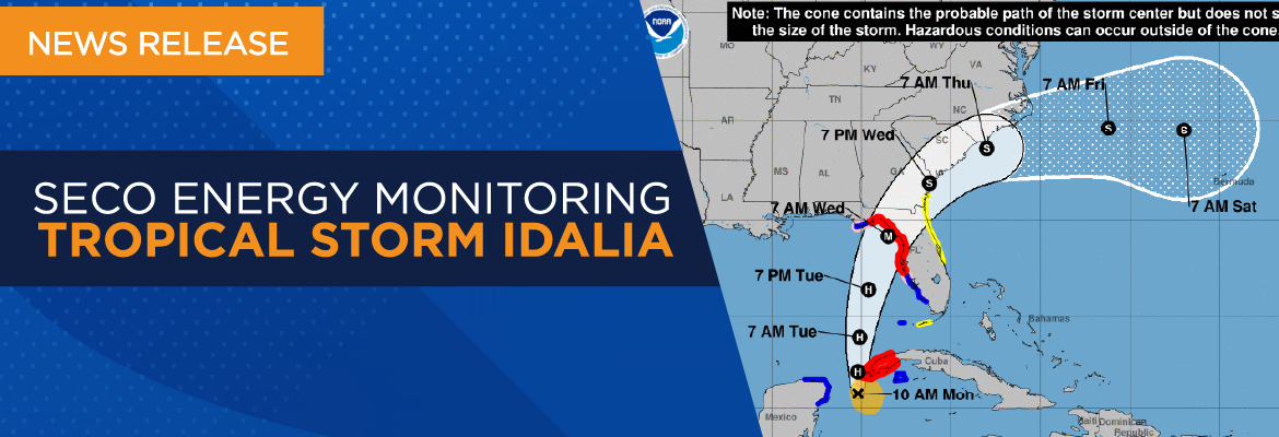
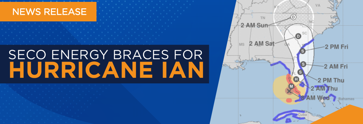
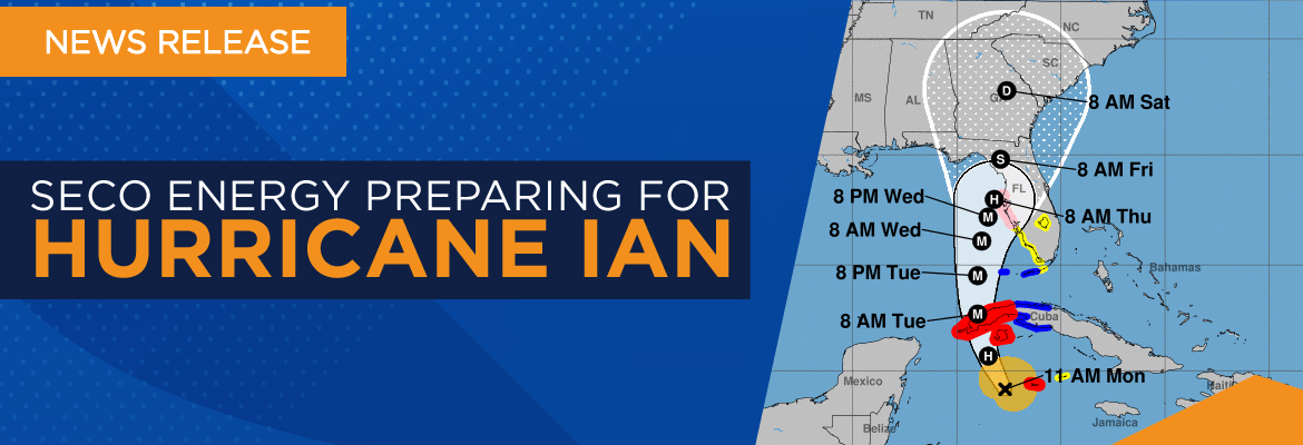
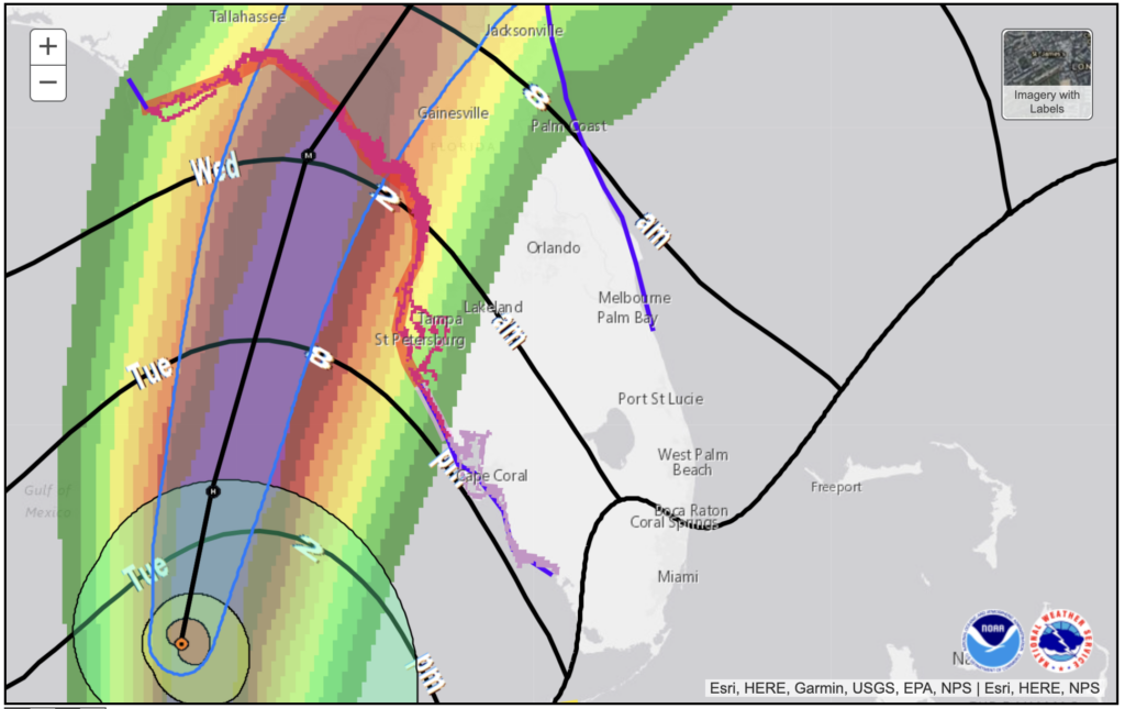 The onset of Hurricane Idalia’s winds is projected to be felt in the western SECO Energy service territories of Citrus, Levy, Marion and Sumter Counties this evening. Hurricane-force winds extend outward up to 15 miles from the center, and tropical storm-force winds extend up to 160 miles. These winds are expected to intensify rapidly overnight and result in a major hurricane by the time it makes landfall on Florida’s Gulf Coast Wednesday morning.