SECO News, June 2019
DUNCAN’S DIGEST
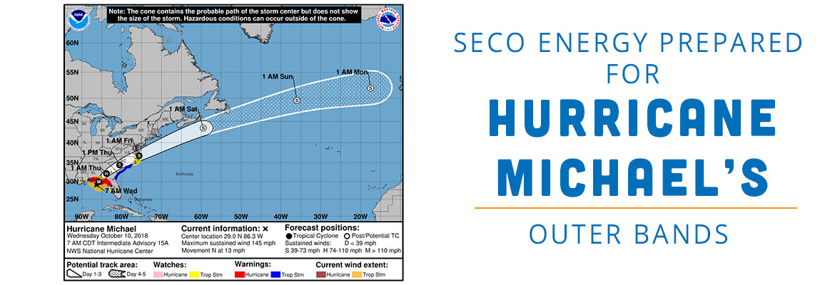
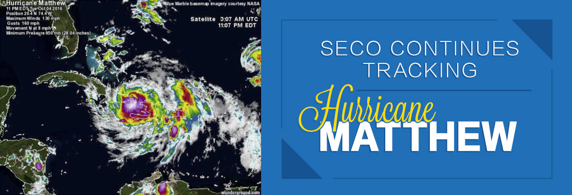
Atlantic hurricane season makes its formal appearance on June 1 and ends November 30. In early May, however, the National Hurricane Center (NHC) was already tracking its first tropical disturbance in the Atlantic. NHC, a part of NOAA, at the time this publication went to print, had not released its official forecast.

The Weather Channel 2019 outlook calls for a total of 14 named Atlantic storms, seven hurricanes and three “major” hurricanes. That forecast is slightly above the 30-year average of 12 named storms, six hurricanes and three major hurricanes. A major hurricane is a Category 3 or stronger which means winds greater than 111 mph.
Unfortunately, no forecast can accurately predict the future. The lifesaving approach is to expect the unexpected and prepare in advance for the possibility of a power outage. Gather your hurricane supplies now. Water and plywood sell out when storms threaten. It’s essential to stock non-perishable food to sustain each family member for at least three days. If you need guidance, view SECO’s Emergency Preparation Checklist online.
Whether you plan to evacuate or stay put during a major event, enroll in outage notifications through StormCenter. Choose email, voice or text message – or all three. Take a tour of the outage map. Search for and bookmark your address. Create a SECO Energy StormCenter icon on the home screen of your smartphone or tablet.
We’ve added a new StormCenter feature. You can now check the status of a reported power outage. Visit StormCenter, click on “Check Status.” Input your last name and house number, account number or phone number on record.
StormCenter provides updates that include the time the outage began, estimated restoration time, crew status, cause if identified and when the outage was restored.
SECO has developed one of the nation’s most comprehensive Emergency Restoration Plans to respond to major storm damage. Restoring service to the largest number of members in the quickest amount of time is our goal, but with required priorities for shelters, schools, hospitals and government buildings.
If you or a family member have special needs, visit www.FloridaDisaster.org to locate your county and join the statewide Special Needs Registry. Other valuable resources for emergency planning are the National Weather Service and the American Red Cross.
Don’t be caught unprepared for the 2019 Atlantic hurricane season. SECO Energy is StormReady and equipped to respond quickly to outages affecting members. We are here for you. It is our privilege to serve your family’s energy needs.
Sincerely,
Jim Duncan
Chief Executive Officer
![]()
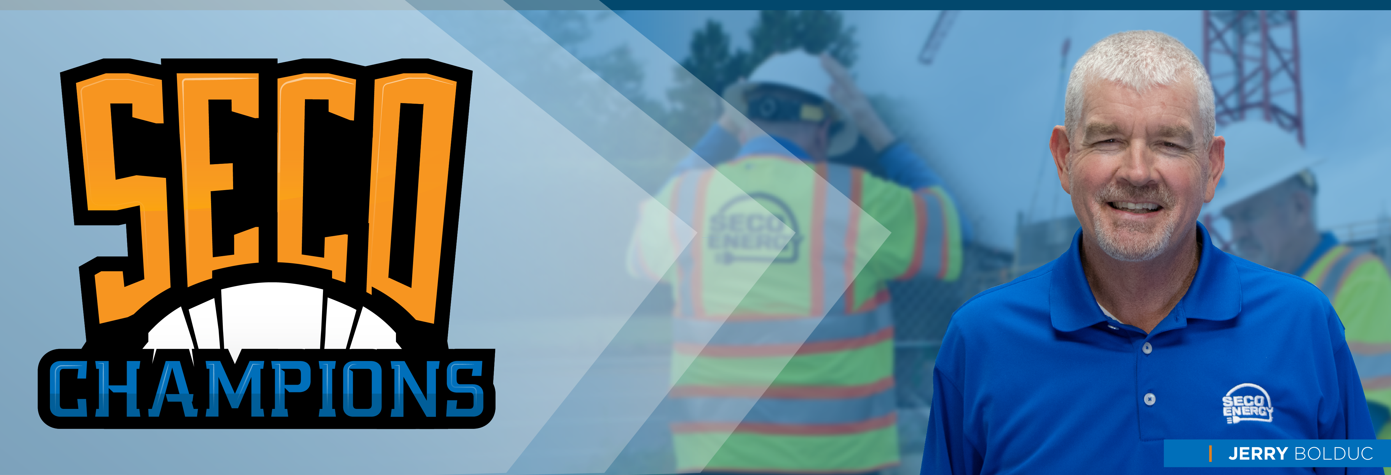
Meet SECO Champion Jerry Bolduc – an example of our 400+ SECO Champion employees. Jerry is dedicated to providing exceptional service to members, co-workers and communities.
JERRY BOLDUC – LEAD PROJECT ENGINEER
LENGTH OF SERVICE – 14 YEARS
“SECO is amazing.”
SECO Champion Jerry Bolduc is a Lead Project Engineer at our SECO Headquarters. Before working at SECO, Jerry was employed by a large investor-owned utility. As a SECO member and an employee, he appreciates the cooperative difference in service that SECO offers members. During the three back-to-back hurricanes in 2004, Jerry assessed damaged areas and directed contract crews across the service territory. He was amazed by SECO’s storm response and the efficiency and organization shown during major restoration efforts. Originally from Canada, Jerry moved to Central Florida 20 years ago. He has participated in Ironman Triathlon Events including Escape from Alcatraz where he swam with sharks in San Francisco Bay. Jerry enjoys working in the field in sunny Florida (no snow) and is proud to be a SECO member, too.
![]()
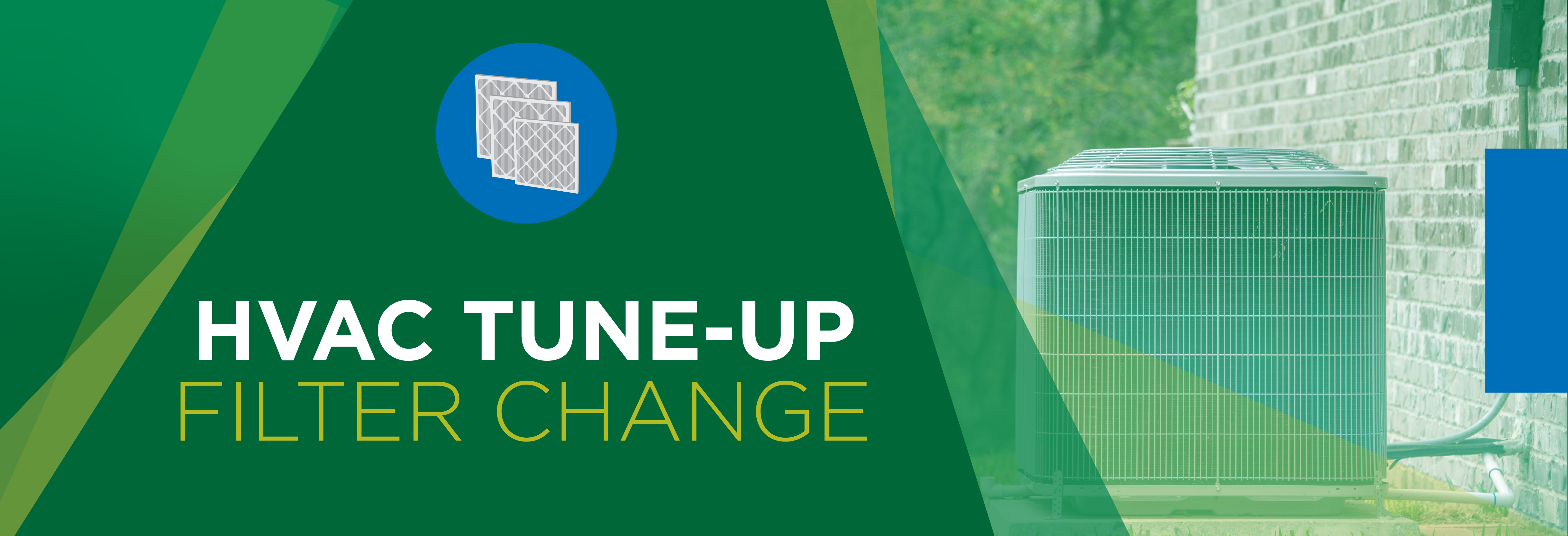
HVAC TUNE-UP AND FILTER CHANGE
Summer heat is quickly approaching. Weather.com predicts June through August temperatures will be above average in our area. Before your HVAC system begins its summer workout, schedule a tune-up with a reputable HVAC technician.
The technician should thoroughly inspect your HVAC to ensure it’s in good running condition. The system may need to be cleaned or serviced. Preventative maintenance is easier on the wallet than major repairs down the road. A well-tuned HVAC runs more efficiently, uses less energy and saves on cooling and heating costs.
Is it time to change your HVAC filter? A clean HVAC filter also helps your system run efficiently. Follow the manufacturer’s guidelines and change filters as recommended.
![]()
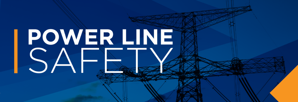
POWER LINE SAFETY
Downed power lines are a safety hazard. Car accidents involving power poles, trees taking down a line or poles broken by heavy wind or rain have the potential to bring us too close to electric lines.
Electric energy can burn, shock, injure or kill you. Never assume a power line is safe to touch. Always assume a power line is live and has the ability to harm you. Children are especially curious and may knowingly or unknowingly approach a downed line. Talk with your kids and grandkids about the dangers of downed power lines.
Warn children to never play near or on substation fencing. Do not climb trees near power lines or allow kites, toy planes or balloons to touch power lines. Don’t release helium balloons at a birthday party or other celebration. These can tangle in lines or become deadly for Florida wildlife.
If you see a downed line, stay away and warn others away as well. Call 911 immediately to report the downed line.
![]()
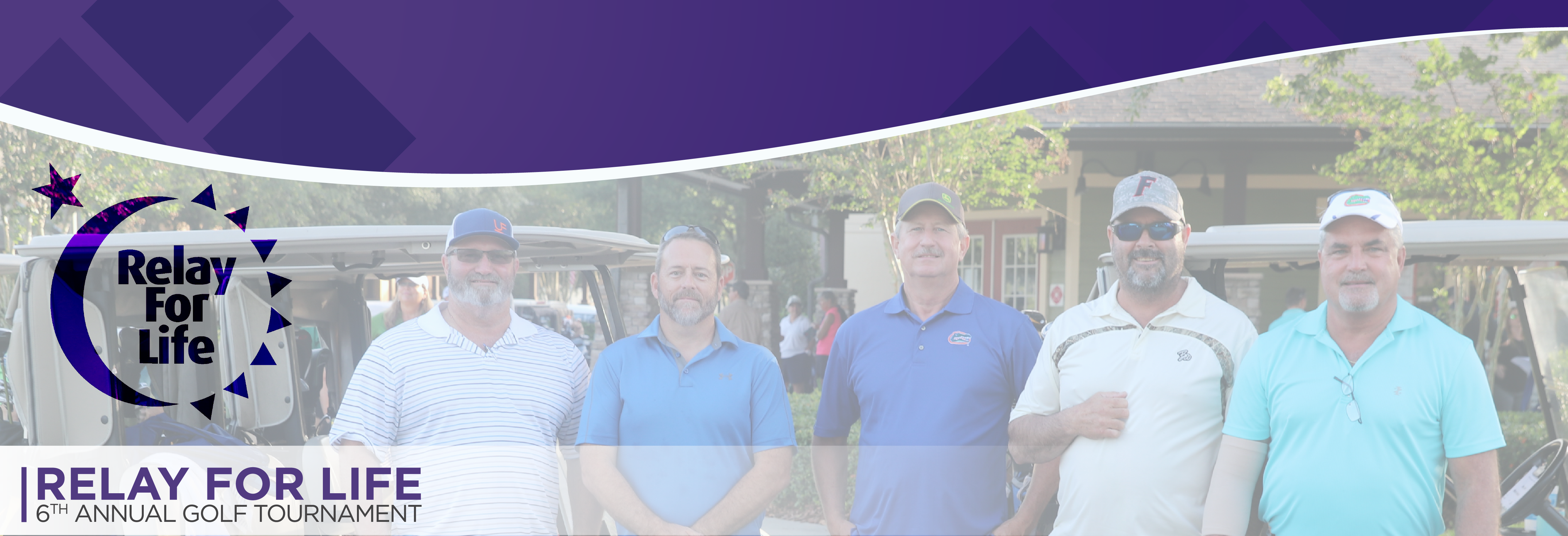
RELAY FOR LIFE – 6TH ANNUAL GOLF TOURNAMENT
Thank you to all players, sponsors and employees who participated in SECO Energy’s 6th Annual Relay For Life Golf Tournament “Tee-Up for a Cure” at Arlington Ridge Golf Club in Leesburg on Saturday, May 4th. Players enjoyed 18-holes of golf, chance to win door prizes and fellowship.
The Relay For Life Golf Tournament sponsored by SECO raised $16,600 for the American Cancer Society.
SECO and its employees are long-time supporters of the American Cancer Society and its premier annual Relay For Life events. Join SECO and its Commitment to Community by partnering with your not-for-profit cooperative on a virtual SECO Relay For Life team.
Join a SECO Energy team by visiting Relay.ACSevents.org and look for “Find a Participant or Team” and choose “Team.” Enter team name: “SECO Energy” and click “Search.” Choose a local Relay event and virtually join Team SECO and the American Cancer Society in the fight against cancer.
Read the full June 2019 SECO News online.