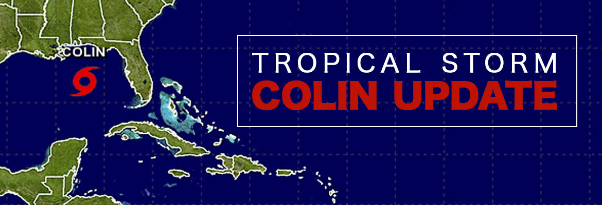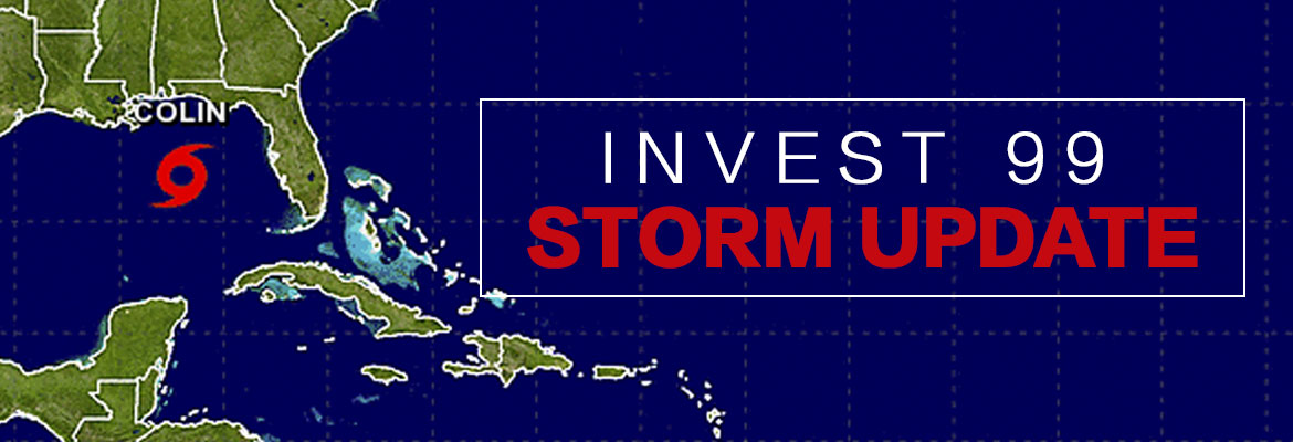
SECO Monitoring Atlantic Storms
According to the National Oceanic and Atmospheric Administration (NOAA), the most active period in the Atlantic Hurricane season begins in mid-August and ends in mid-October. SECO Energy continues to monitor tropical depression Invest 99 and the possibility it could make landfall in Florida early next week.
As of late Thursday afternoon, tropical wave Invest 99 is an unorganized, broad area of low pressure moving westward at 15 to 20 mph through the southeastern Bahamas. Winds associated with the system have decreased to below tropical storm strength.
Spaghetti models are predicting possible landfall in southern Florida or continue into the southeastern Gulf of Mexico. If conditions are favorable, the depression could strengthen and become Hurricane Hermine as early as Friday. At that point, the storm could pick up steam and make landfall again somewhere on Florida’s west coast. This system could bring heavy rain and winds to SECO’s service area early next week.
Even though it is too early to predict when and how Central Florida will be affected, SECO is urging members to make preparations in advance. SECO has provided an emergency checklist for members on our website.
Kathryn Gloria, Vice President of Corporate Communications and Energy Services stated, “It has been 11 years since Hurricane Wilma made landfall in Florida, and members may feel confident that Florida will continue to be lucky and larger storms will pass us by. Emergency supplies sell out quickly when storm watches and warnings go into effect, gather your supplies beforehand. I urge all SECO members to prepare for the possibility of increased storm activity during this peak time.”
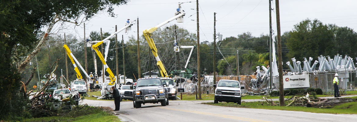
SECO is Storm Ready. Our locally-based customer service staff is ready and available to respond to member inquiries in person, by phone or online. SECO’s System Operations directs the SECO cavalry 24 hours a day, seven days a week – each truck is equipped to respond to member concerns or service interruptions in the field quickly and safely.
As a not-for-profit electric cooperative, SECO is dedicated to being our members’ first source for accurate storm information. “Like” SECO’s Facebook page and “follow” us on Twitter to stay updated about storms affecting our area.
For members who rely on back-up generators during storm season, remember to read and follow all manufacturer’s safety warnings. Visit our website to learn more about generator safety.