Tropical Depression #9 Upgraded to Tropical Storm Hermine

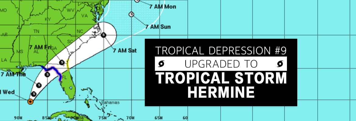
Tropical Depression #9 Upgraded to Tropical Storm Hermine

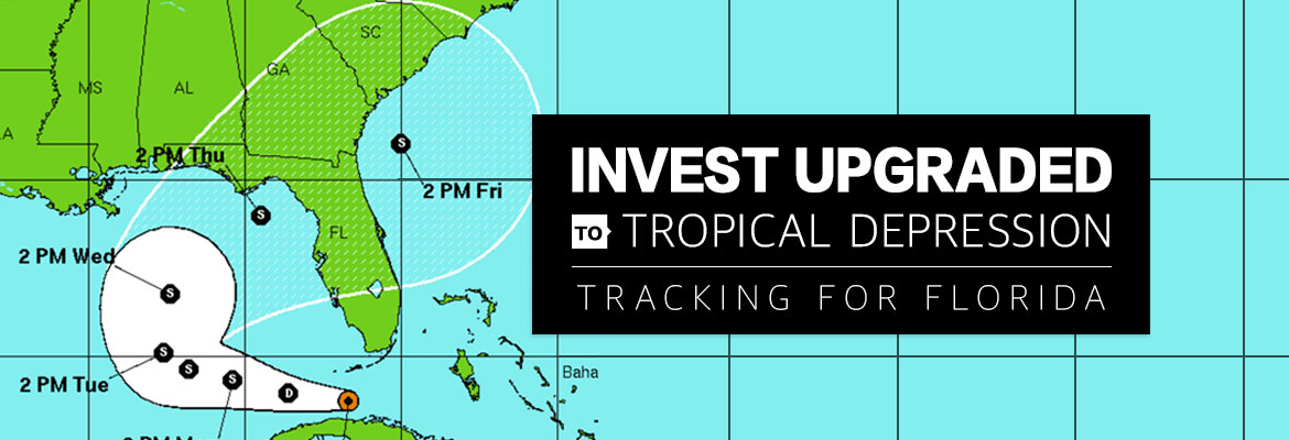
As of Wednesday afternoon, Tropical Depression #9 is upgraded. Tropical Storm Hermine’s (pronounced Her-MEAN) maximum sustained winds are 40 mph and its location is 400 miles south of Apalachicola and is moving very slowly north at 2 mph. Hermine is expected to increase in speed when turning northeast toward Florida’s west coast. The latest models,predict […]

Read More »
Storm Preparation & Generator Safety

Storm Preparation & Generator Safety

Portable Generators:   During storm and hurricane season, a portable generator can come in handy if your power is interrupted, but portable generators must always be used with safety in mind.  Read and follow the manufacturer’s safety instructions contained in the generator operations manual.   According to the National Safety Council, www.nsc.org, generators should NEVER […]

Read More »
SECO Ready for TD#9 Landfall

SECO Ready for TD#9 Landfall

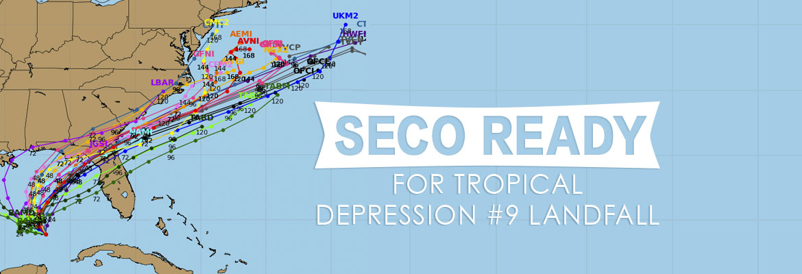
As of Tuesday morning, Tropical Depression #9 (TD#9) is located about 240 miles west of Key West and 200 miles west-northwest of Cuba. The National Hurricane Center is predicting TD#9 will strengthen into a tropical storm today.   TD#9 has maximum sustained winds of 35 mph, and is moving west-northwest at 7 mph. The storm […]

Read More »
SECO News, September 2016

SECO News, September 2016

Conduct a Home Energy Assessment Online   Your happiness with SECO Energy is dependent on low rates, high reliability and help managing your energy use to keep your bills low. As a not-for-profit electric cooperative, we’re one of those rare companies that actually want you to use less of our product. So to help you […]

Read More »
Tropical Depression #9 Tracking to Florida

Tropical Depression #9 Tracking to Florida

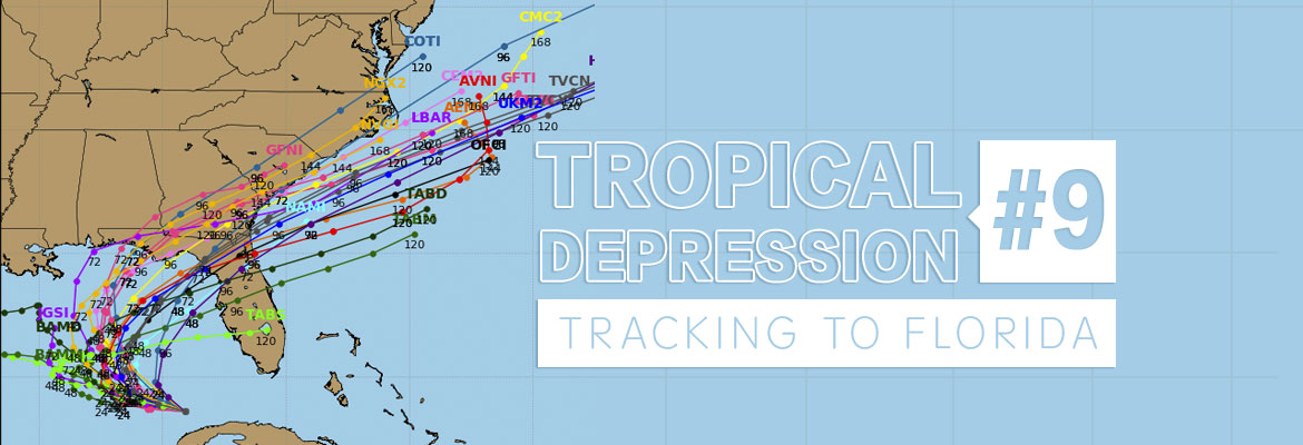
National Hurricane Center has upgraded Invest 99 to Tropical Depression #9 (TD#9). As of Monday morning, the storm is currently located 25 to 35 miles northwest of Havana, Cuba and 100 miles southwest of Key West, Florida. Tropical Depression #9 is expected to track west to west-northwest and into the southeastern Gulf of Mexico through […]

Read More »
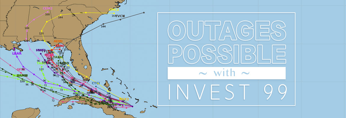
SUNDAY UPDATE-INVEST MODELS SHOW FL SWING

SUNDAY UPDATE-INVEST MODELS SHOW FL SWING

SUNDAY WEATHER UPDATE – the models have changed This morning’s forecast and models  of the system we’ve been watching show that the projected track has changed. The models are split now –  some showing the system turning NW after entering the Gulf and moving across Central and Northern Florida.  The NHC forecast states that gusty winds and heavy rainfall will hit South Florida and The […]

Read More »
SECO Monitoring Atlantic Storms

SECO Monitoring Atlantic Storms

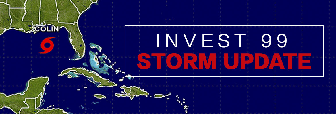
According to the National Oceanic and Atmospheric Administration (NOAA), the most active period in the Atlantic Hurricane season begins in mid-August and ends in mid-October. SECO Energy continues to monitor tropical depression Invest 99 and the possibility it could make landfall in Florida early next week.   As of late Thursday afternoon, tropical wave Invest […]

Read More »
Hackers, scammers and thieves – at your door

Hackers, scammers and thieves – at your door

In today’s fast-paced world of hackers, scammers and thieves, SECO Energy members must be vigilant to protect themselves, their property and their financial information. If someone calls you or comes to your door and requests access or payment, protect yourself. Hang up on the caller and above all, don’t allow an unidentified person access to […]

Read More »