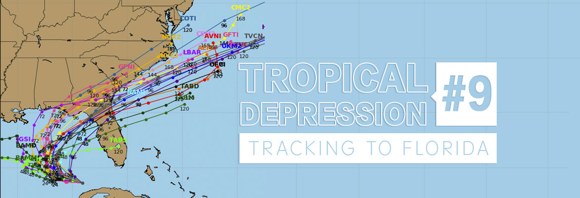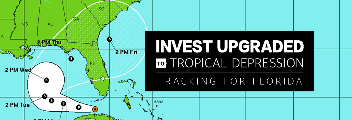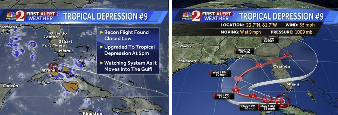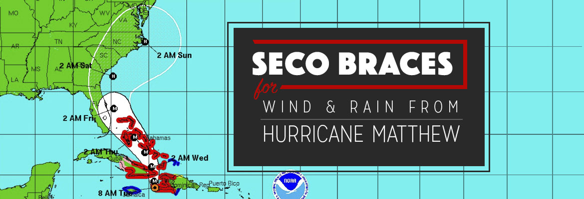
SECO braces for wind and rain from Hurricane Matthew
SECO Energy is warning members that Hurricane Matthew will bring rain and wind to its service territory.
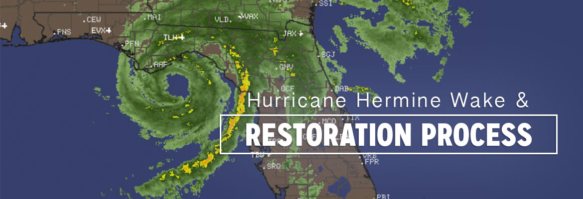
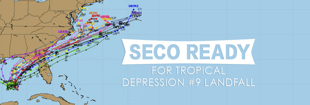
As of Tuesday morning, Hurricane Matthew is a Category 4 storm with maximum sustained winds of 145 mph. The storm is located 165 miles east-southeast of Kingston, Jamaica and is moving north at 8 mph. Matthew is expected to continue to track north today and take a slight north-northwest turn tonight and into Wednesday. Matthew is expected to remain a major hurricane as it passes over western Hispaniola and eastern Cuba today.
The forecasted path of Matthew is a parallel track on Florida’s east coast – but the track continues to shift to the west. It is likely that the storm will be located 50 to 75 miles off the coast at its nearest approach to Central Florida – late Thursday night or early Friday morning. Florida will likely experience rain bands and strong tropical-storm-force wind gusts with the potential to cause damage.
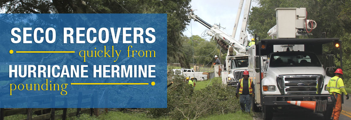
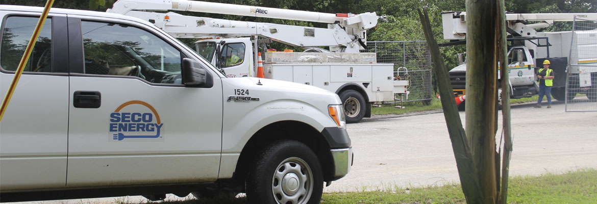
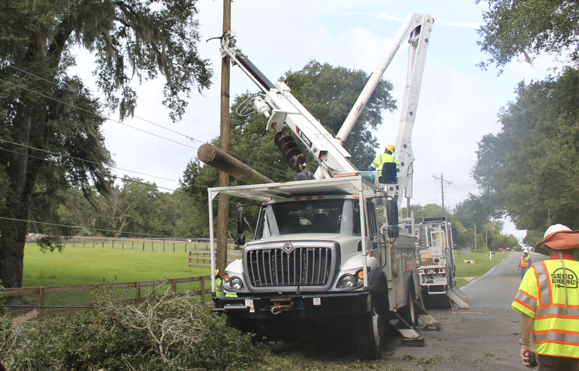
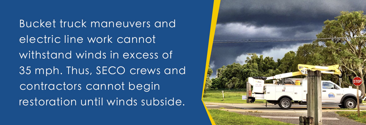
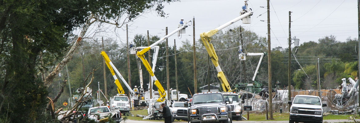
SECO is Storm Ready and continues to prepare for hurricanes throughout the year. Hurricane Matthew could impact SECO’s service area as early as Wednesday morning – bringing heavy rains and wind and may linger in the area through Friday. SECO is prepared for Hurricane Matthew to cause outages and is fully staffed and ready to restore service interruptions quickly and safely. Wet ground and gusty winds will likely cause trees to fall from outside SECO’s right of way and trim zones – causing outages.
Members should prepare in advance for hurricane season and SECO has provided an emergency checklist on the Storm Preparation section of our website. Don’t be caught unprepared – when storm watches and warnings go into effect, supplies sell out quickly.
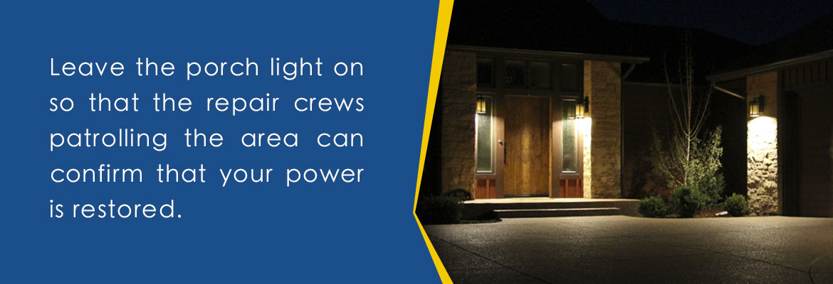
As a not-for-profit electric cooperative, SECO is dedicated to being our members’ first source for accurate storm information. “Like” SECO’s Facebook page and “follow” the company on Twitter to stay updated about storms affecting our area. Be sure to bookmark SECO’s Storm Center on your smartphone or tablet. It’s simple to report an outage using the account last name and house number on SECO’s Storm Center.
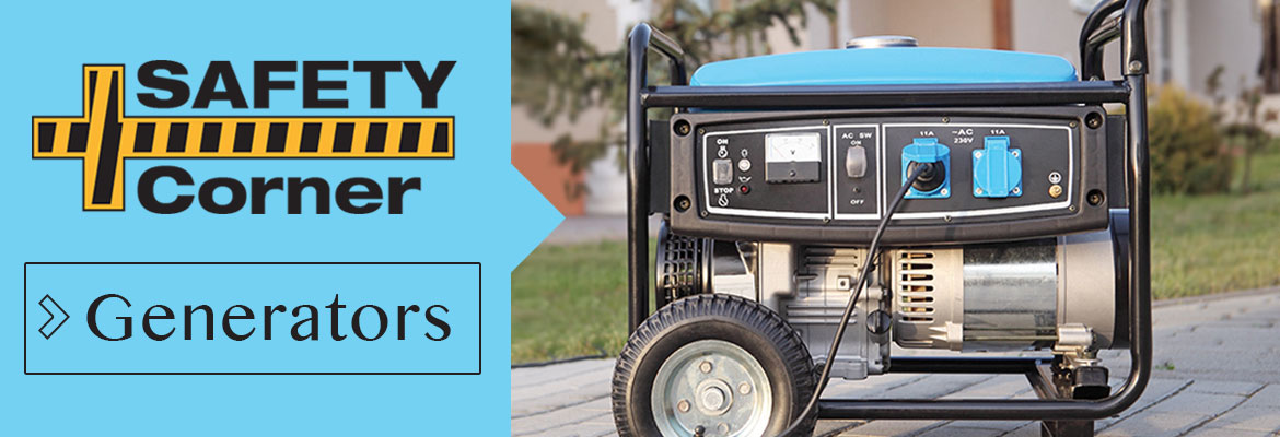
For members who rely on back-up generators during storm season, remember to read and follow all manufacturer’s safety warnings. Visit our Generator Safety page to learn more about generator safety.